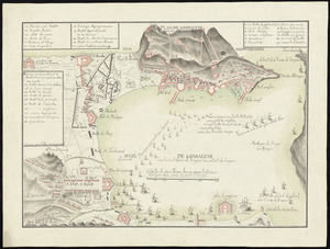
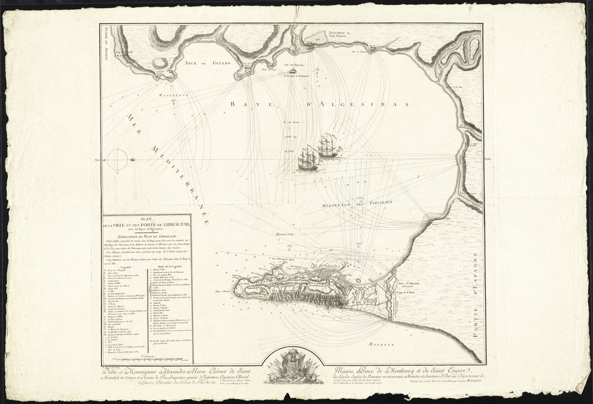
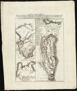
Plan de la ville et des forts de Gibraltar, avec la Baye d'Algesiras
This map is also available in American Revolutionary Geographies Online (ARGO), a collections portal especially built for material relating to the American Revolutionary War Era. Visit ARGO to learn more about this item and explore the historical geography of North America in the late eighteenth century.
Item Information
- Title:
- Plan de la ville et des forts de Gibraltar, avec la Baye d'Algesiras
- Creator:
- Maugein, Charles
- Name on Item:
-
Ch. Maugein del. et sculp.
- Date:
-
[1782?]
- Format:
-
Maps/Atlases
- Location:
- George Washington's Mount Vernon
- Collection (local):
-
Richard H. Brown Revolutionary War Map Collection at Mount Vernon
- Subjects:
-
Gibraltar--History--Revolution, 1775-1783--Maps--Early works to 1800
Gibraltar--History--Siege, 1779-1783--Maps--Early works to 1800
- Places:
-
Gibraltar (territory)
- Extent:
- 1 map ; 59 x 66 cm.
- Terms of Use:
-
No known copyright restrictions.
This work is licensed for use under a Creative Commons Attribution Non-Commercial Share Alike License (CC BY-NC-SA).

- Publisher:
-
Paris :
Chez Perrier et Verrier ; Chez Maugein
- Scale:
-
Scale [ca. 1:20,000]
- Language:
-
French
- Catalog Record:
-
MVLA record
- Notes:
-
Oriented with north to the right.
Relief shown by hachures. Depths shown by soundings.
Includes references to military points of interest.
Dedicated to Alexandre Marie Eleonor de Saint Mauris.
In French.
- Identifier:
-
06_01_009590


![[Plan de Gibraltar]](https://bpldcassets.blob.core.windows.net/derivatives/images/commonwealth:z603vt83t/image_thumbnail_300.jpg)