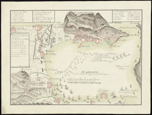
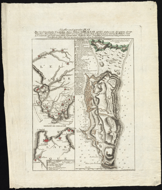
Neuester und acurater plan der weltberuhmten Englischen berg festung Gibraltar auf der Spitze von Spanien : derer wercher meertiefung [p. p.] welche seit 1779 von dem Spanischen General Lascy mit 20 battalions und 12. escadrons zu land und einer Spanischen flotte zu meer fruditloss bloquirt und belagertworden
This map is also available in American Revolutionary Geographies Online (ARGO), a collections portal especially built for material relating to the American Revolutionary War Era. Visit ARGO to learn more about this item and explore the historical geography of North America in the late eighteenth century.
Item Information
- Title:
- Neuester und acurater plan der weltberuhmten Englischen berg festung Gibraltar auf der Spitze von Spanien : derer wercher meertiefung [p. p.] welche seit 1779 von dem Spanischen General Lascy mit 20 battalions und 12. escadrons zu land und einer Spanischen flotte zu meer fruditloss bloquirt und belagertworden
- Creator:
- Zell, J. M.
- Contributor:
- Iagernschen Buchhandlung
- Name on Item:
-
I.M. Zell sculp.
- Date:
-
1780
- Format:
-
Maps/Atlases
- Location:
- George Washington's Mount Vernon
- Collection (local):
-
Richard H. Brown Revolutionary War Map Collection at Mount Vernon
- Subjects:
-
Gibraltar--History--Revolution, 1775-1783--Maps--Early works to 1800
Gibraltar--History--Siege, 1779-1783--Maps--Early works to 1800
- Places:
-
Gibraltar (territory)
- Extent:
- 2 maps on 1 sheet : hand col. ; 33 x 15 cm. and 33 x 11 cm.
- Terms of Use:
-
No known copyright restrictions.
This work is licensed for use under a Creative Commons Attribution Non-Commercial Share Alike License (CC BY-NC-SA).

- Publisher:
-
Franckfurter :
Iagernschen Buchhandlung
- Scale:
-
Scale [ca. 1:18,000]
Scale [ca. 1:1,200,000]
- Language:
-
German
- Table of Contents:
-
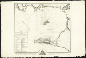
[Map of the surrounding area]
[Map of Gibraltar].
- Catalog Record:
-
MVLA record
- Notes:
-
Shows forces and fortifications in 1779 during the siege of Gibraltar.
Relief shown by hachures. Depth shown by soundings.
Includes references to points of interest.
In German.
- Identifier:
-
06_01_009592


![[Plan de Gibraltar]](https://bpldcassets.blob.core.windows.net/derivatives/images/commonwealth:z603vt83t/image_thumbnail_300.jpg)