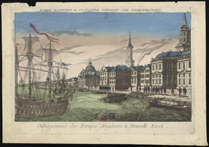
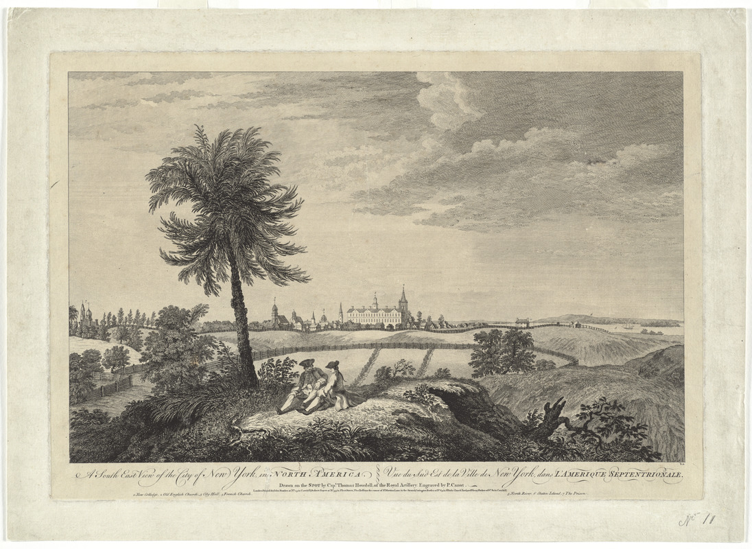
A south east view of the city of New York, in North America = Vue de sud est de la ville de New York, dans l'Amerique Septentrionale
This map is also available in American Revolutionary Geographies Online (ARGO), a collections portal especially built for material relating to the American Revolutionary War Era. Visit ARGO to learn more about this item and explore the historical geography of North America in the late eighteenth century.
Item Information
- Title:
- A south east view of the city of New York, in North America = Vue de sud est de la ville de New York, dans l'Amerique Septentrionale
- Creator:
- Howdell, Thomas
- Contributor:
- Canot, Pierre Charles, 1710-1777
- Contributor:
- Bowles, John, 1701-1779
- Contributor:
- Sayer, Robert, 1725-1794
- Contributor:
- Jefferys, Thomas, -1771
- Name on Item:
-
drawn on the spot by Capt. Thomas Howdell, of the Royal Artillery ; engraved by P. Canot
- Date:
-
[ca. 1763]
- Format:
-
Maps/Atlases
- Location:
- George Washington's Mount Vernon
- Collection (local):
-
Richard H. Brown Revolutionary War Map Collection at Mount Vernon
- Subjects:
-
New York (N.Y.)--Maps--Early works to 1800
New York (N.Y.)--Pictorial works--Early works to 1800
- Places:
-
New York
- Extent:
- 1 view ; 32 x 50 cm.
- Terms of Use:
-
No known copyright restrictions.
This work is licensed for use under a Creative Commons Attribution Non-Commercial Share Alike License (CC BY-NC-SA).

- Publisher:
-
London :
John Bowles ; Robert Sayer ; Thos. Jefferys
- Scale:
-
Not drawn to scale
- Language:
-
English
French
- Catalog Record:
-
MVLA record
- Notes:
-
Includes references to points of interest.
In English and French.
- Notes (citation):
-
Deak, G. Picturing New York, 116
- Identifier:
-
06_01_009561
- Barcode:
-
30000003863518