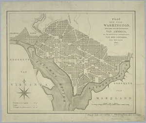
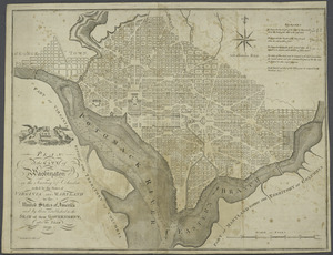
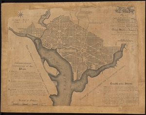
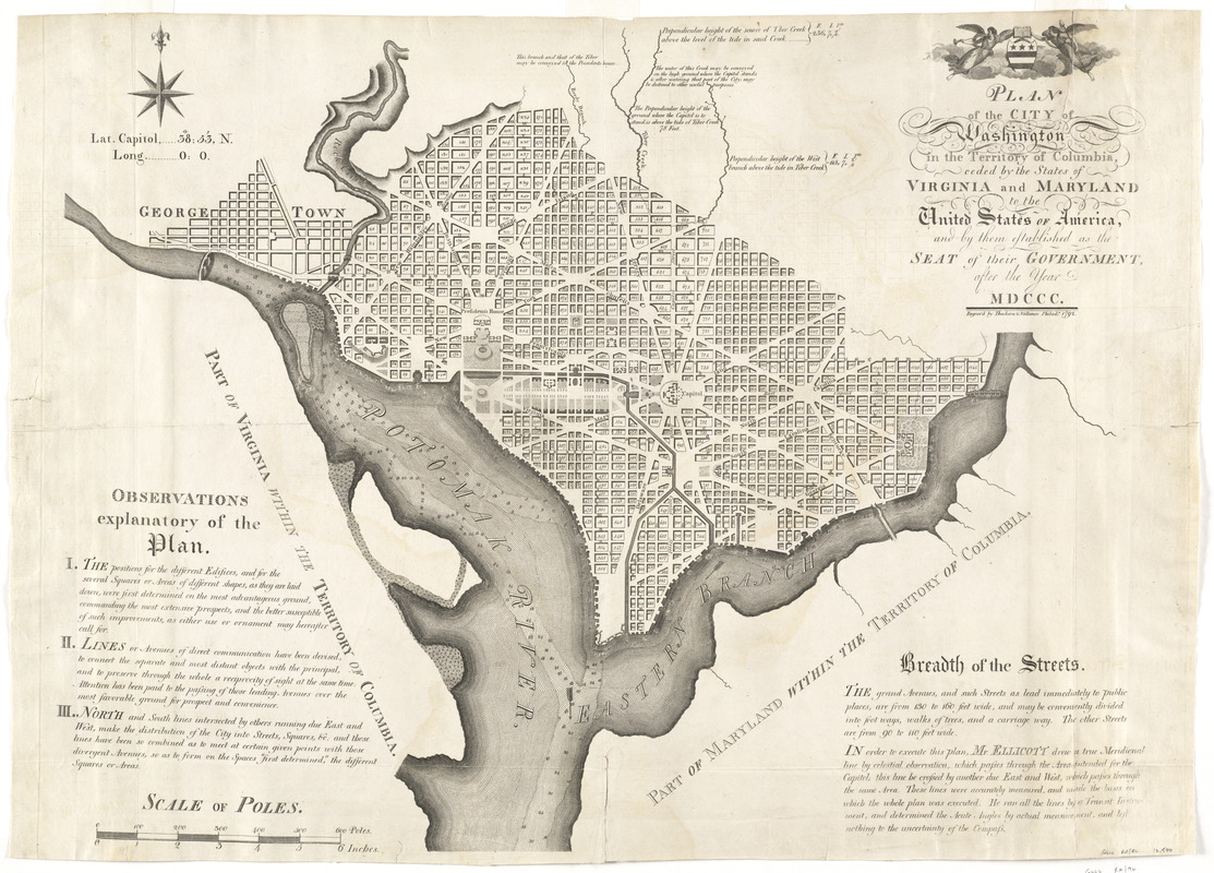
Plan of the city of Washington in the territory of Columbia, ceded by the states of Virginia and Maryland to the United States of America, and by them established as the seat of their government, after the year MDCC
This map is also available in American Revolutionary Geographies Online (ARGO), a collections portal especially built for material relating to the American Revolutionary War Era. Visit ARGO to learn more about this item and explore the historical geography of North America in the late eighteenth century.
Item Information
- Title:
- Plan of the city of Washington in the territory of Columbia, ceded by the states of Virginia and Maryland to the United States of America, and by them established as the seat of their government, after the year MDCC
- Description:
-
This 1792 map was among the first printed plans of Washington, D.C., the new seat of government for the federal government. Its location on the Potomac River was determined as a result of the Compromise of 1790. Thomas Jefferson and his supporters agreed that the nation would take on state debts incurred during the Revolutionary War in exchange for the mid-Atlantic capital site selected by George Washington. Though Maryland surveyor Andrew Ellicott created this map, he based it on designs by French engineer Pierre L'Enfant.
- Creator:
- Ellicott, Andrew, 1754-1820
- Engraver:
- Thackara & Vallance
- Name on Item:
-
engrav'd by Thackara & Vallance ; in order to execute this plan, Mr. Ellicott drew a true meridional line ... and left nothing to the uncertainty of the compass.
- Date:
-
[1792]
- Format:
-
Maps/Atlases
- Location:
- George Washington's Mount Vernon
- Collection (local):
-
Richard H. Brown Revolutionary War Map Collection at Mount Vernon
- Subjects:
-
Washington (D.C.)--Maps--Early works to 1800
Georgetown (Washington, D.C.)--Maps--Early works to 1800
- Places:
-
WashingtonGeorgetown
- Extent:
- 1 map ; 52 x 68 cm.
- Terms of Use:
-
No known copyright restrictions.
This work is licensed for use under a Creative Commons Attribution Non-Commercial Share Alike License (CC BY-NC-SA).

- Publisher:
-
Philadelphia :
[s.n.]
- Scale:
-
Scale [ca. 1:19,800]
- Language:
-
English
- Notes:
-
Relief shown by hachures. Depths shown by soundings.
Shows block numbers and proposed government buildings.
Also covers Georgetown.
Includes text, notes, and coat-of-arms.
This map can be viewed as a georeferenced overlay in an interactive application made especially for We Are One: Mapping America's Road from Revolution to Independence http://d2o8owo4k087al.cloudfront.net/index.html?mapId=91.
- Notes (date):
-
This date is inferred.
- Notes (exhibitions):
-
Exhibited: "We Are One: Mapping America's Road from Revolution to Independence" organized by the Norman B. Leventhal Map Center at the Boston Public Library, 2015.
- Identifier:
-
06_01_008528
- LCCN:
-
88694161