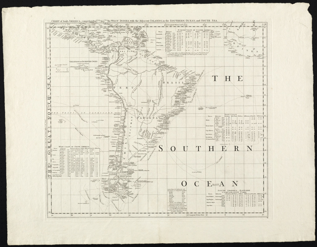
Chart of South America, comprehending the West Indies, with the adjacent islands, in the Southern Ocean, and South Sea
This map is also available in American Revolutionary Geographies Online (ARGO), a collections portal especially built for material relating to the American Revolutionary War Era. Visit ARGO to learn more about this item and explore the historical geography of North America in the late eighteenth century.
Item Information
- Title:
- Chart of South America, comprehending the West Indies, with the adjacent islands, in the Southern Ocean, and South Sea
- Title (alt.):
-
A chart of North and South America, including the Atlantic and Pacific Oceans, with the nearest coasts of Europe, Africa and Asia
- Cartographer:
- Green, John, -1757
- Publisher:
- Jefferys, Thomas, -1771
- Publisher:
- Sayer, Robert, 1725-1794
- Date:
-
[1753]
- Format:
-
Maps/Atlases
- Location:
- George Washington's Mount Vernon
- Collection (local):
-
Richard H. Brown Revolutionary War Map Collection at Mount Vernon
- Subjects:
-
America--Discovery and Exploration--Maps--Early works to 1800
South America--Maps--Early works to 1800
West Indies--Maps--Early works to 1800
South Atlantic Ocean--Maps--Early works to 1800
- Places:
-
South America
West Indies
South America
Atlantic Ocean
- Extent:
- 1 map ; 54 x 60 cm
- Terms of Use:
-
No known copyright restrictions.
This work is licensed for use under a Creative Commons Attribution Non-Commercial Share Alike License (CC BY-NC-SA).

- Publisher:
-
[London] :
Printed for Robert Sayer in Fleet Street and Thomas Jefferys in the Strand
- Scale:
-
Scale approximately 1:11,000,000
- Language:
-
English
- Catalog Record:
-
MVLA record
- Notes:
-
Sheet six of Green's A chart of North and South America, including the Atlantic and Pacific Oceans, with the nearest coasts of Europe, Africa and Asia.
Prime meridians: London and Ferro.
Relief shown pictorially.
Shows nautical exploration routes.
Includes text, historical and geographical notes, and tables of comparative astronomical observations.
- Notes (date):
-
This date is inferred.
- Notes (citation):
-
Cumming, W. British maps of colonial America, p. 45
- Identifier:
-
06_01_008678
- Barcode:
-
30000003817903


