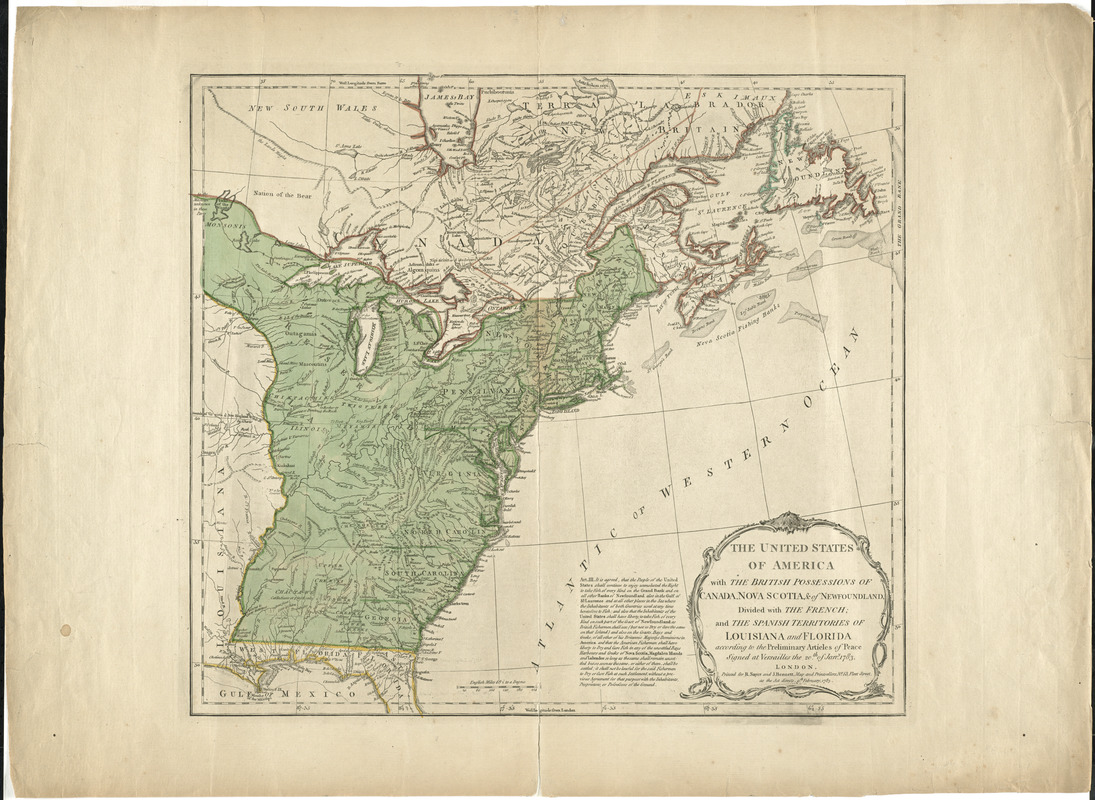
The United States of America with the British possessions of Canada, Nova Scotia, & of Newfoundland, divided with the French : and the Spanish territories of Louisiana and Florida according to the preliminary articles of peace signed at Versailles the 20th of Jany. 1783
This map is also available in American Revolutionary Geographies Online (ARGO), a collections portal especially built for material relating to the American Revolutionary War Era. Visit ARGO to learn more about this item and explore the historical geography of North America in the late eighteenth century.
Item Information
- Title:
- The United States of America with the British possessions of Canada, Nova Scotia, & of Newfoundland, divided with the French : and the Spanish territories of Louisiana and Florida according to the preliminary articles of peace signed at Versailles the 20th of Jany. 1783
- Creator:
- Robert Sayer and John Bennett (Firm)
- Date:
-
1783
- Format:
-
Maps/Atlases
- Location:
- George Washington's Mount Vernon
- Collection (local):
-
Richard H. Brown Revolutionary War Map Collection at Mount Vernon
- Subjects:
-
United States--Maps--Early works to 1800
- Places:
-
- Extent:
- 1 map : hand col. ; 46 x 51 cm.
- Terms of Use:
-
No known copyright restrictions.
This work is licensed for use under a Creative Commons Attribution Non-Commercial Share Alike License (CC BY-NC-SA).

- Publisher:
-
London :
Printed for R. Sayer and J. Bennett
- Scale:
-
Scale [ca. 1:6,366,000]
- Language:
-
English
- Catalog Record:
-
MVLA record
- Notes:
-
Relief shown pictorially.
Prime meridian: Ferro and London.
Includes article III of the Treaty.
Ornamental title cartouche.
- Identifier:
-
06_01_008241
- LCCN:
-
gm 71005487


