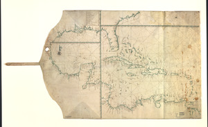
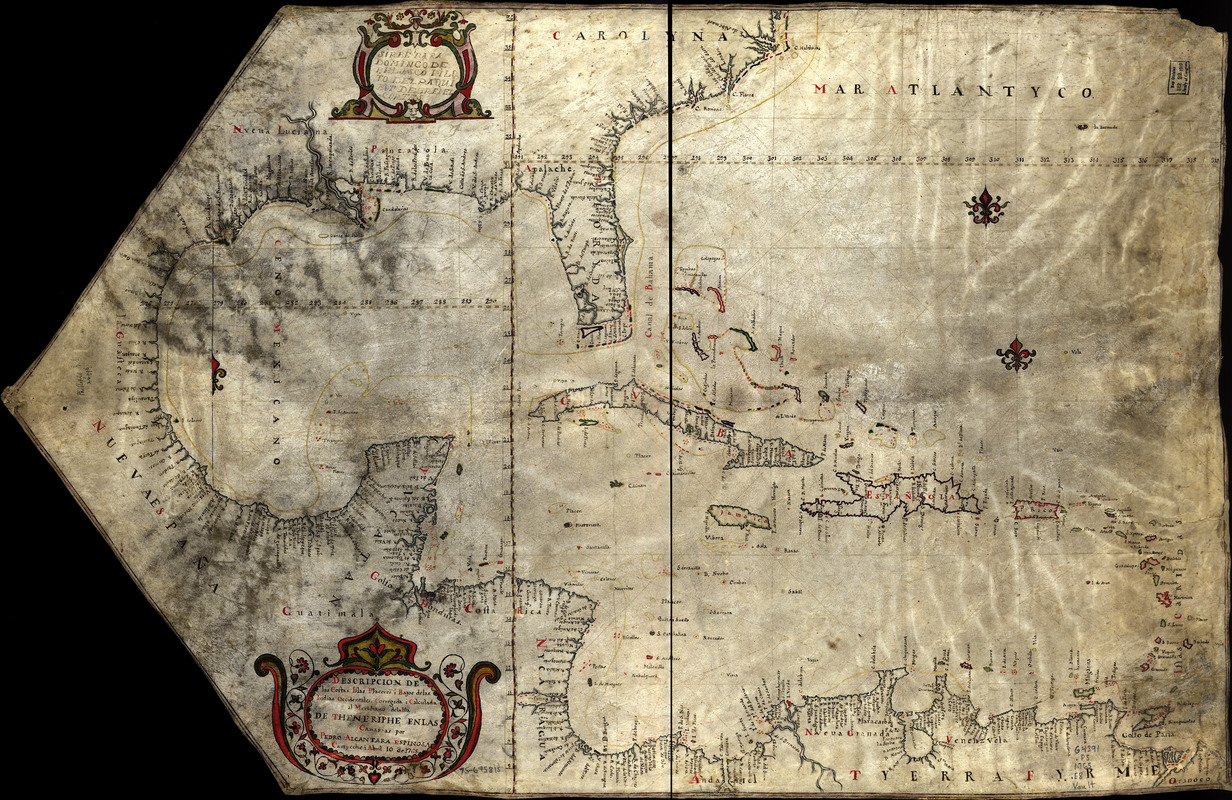
Descripcion de las costas, islas placeres, i bajos delas, Indias Occidentales
This map is also available in American Revolutionary Geographies Online (ARGO), a collections portal especially built for material relating to the American Revolutionary War Era. Visit ARGO to learn more about this item and explore the historical geography of North America in the late eighteenth century.
Item Information
- Title:
- Descripcion de las costas, islas placeres, i bajos delas, Indias Occidentales
- Creator:
- Espinosa, Pedro Alcantara
- Name on Item:
-
corregida i calculada al meridiano dela isla de Theneriphe enlas Canarias por Pedro Alcantara Espinosa, Campeche i Abril 10 de 1765
- Date:
-
[1765]
- Format:
-
Maps/Atlases
Manuscripts
- Location:
- Library of Congress Geography and Map Division
- Collection (local):
-
Library of Congress Collection
- Subjects:
-
Nautical charts--Caribbean Area--Early works to 1800
Coasts--Caribbean Area--Maps--Early works to 1800
Caribbean Area--Maps, Manuscript--Early works to 1800
- Places:
-
Caribbean Sea
- Extent:
- 1 manuscript map : hand color 61 x 93 cm.
- Terms of Use:
-
No known copyright restrictions.
This work is licensed for use under a Creative Commons Attribution Non-Commercial Share Alike License (CC BY-NC-SA).

- Scale:
-
Scale ca. 1:5,000,000
- Language:
-
Spanish
- Catalog Record:
-
https://lccn.loc.gov/75695815
- Notes:
-
Manuscript, pen-and-ink and watercolor, on vellum.
Shows the Atlantic coast of southern U.S., Mexico, Central America, and northern South America.
"Sibre para Domingo de Belasco Pilo to del Paqui Bot Delrei el Cortes."
- Notes (date):
-
This date is inferred.
- Notes (citation):
-
LC Maps of North America, 1750-1789, 1694
LC Luso-Hispanic World, 30
LC Nautical charts on vellum
- Identifier:
-
ar169400z