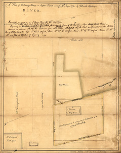
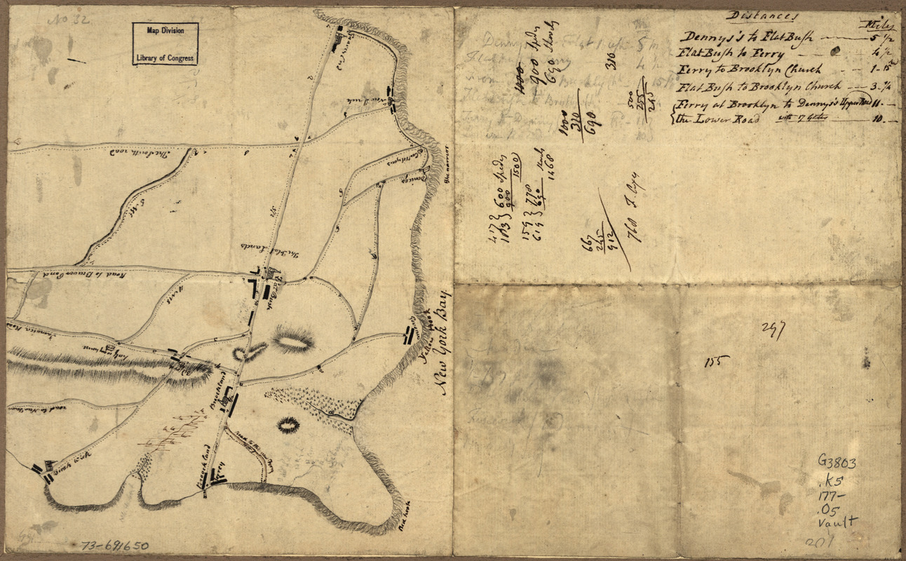
Old map of Brooklyn and greater part of King's County, Long Island
This map is also available in American Revolutionary Geographies Online (ARGO), a collections portal especially built for material relating to the American Revolutionary War Era. Visit ARGO to learn more about this item and explore the historical geography of North America in the late eighteenth century.
Item Information
- Title:
- Old map of Brooklyn and greater part of King's County, Long Island
- Date:
-
[1770?–1779?]
- Format:
-
Maps/Atlases
Manuscripts
- Location:
- Library of Congress Geography and Map Division
- Collection (local):
-
Library of Congress Collection
- Subjects:
-
Kings County (N.Y.)--Maps, Manuscript--Early works to 1800
Brooklyn (New York, N.Y.)--Maps, Manuscript--Early works to 1800
- Places:
-
Kings (county)
New YorkBrooklyn
- Extent:
- 1 manuscript map : hand color, 23 x 19 cm. on sheet 23 x 37 cm.
- Terms of Use:
-
No known copyright restrictions.
This work is licensed for use under a Creative Commons Attribution Non-Commercial Share Alike License (CC BY-NC-SA).

- Scale:
-
Scale ca. 1:82,000
- Language:
-
English
- Catalog Record:
-
https://lccn.loc.gov/73691650
- Notes:
-
Title from P. L. Phillips' A list of maps of America, p. 175.
Manuscript, pen-and-ink.
Oriented with north to the bottom.
Relief shown pictorially.
In pencil: No. 32.
Includes distance chart.
- Notes (citation):
-
LC Maps of North America, 1750-1789, 1092
- Identifier:
-
ar109200