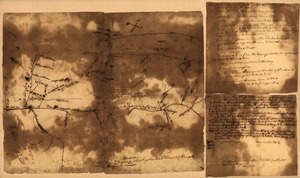
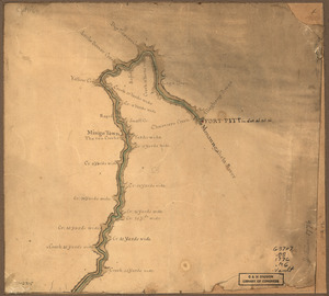
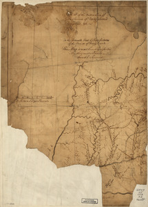
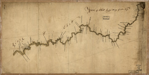
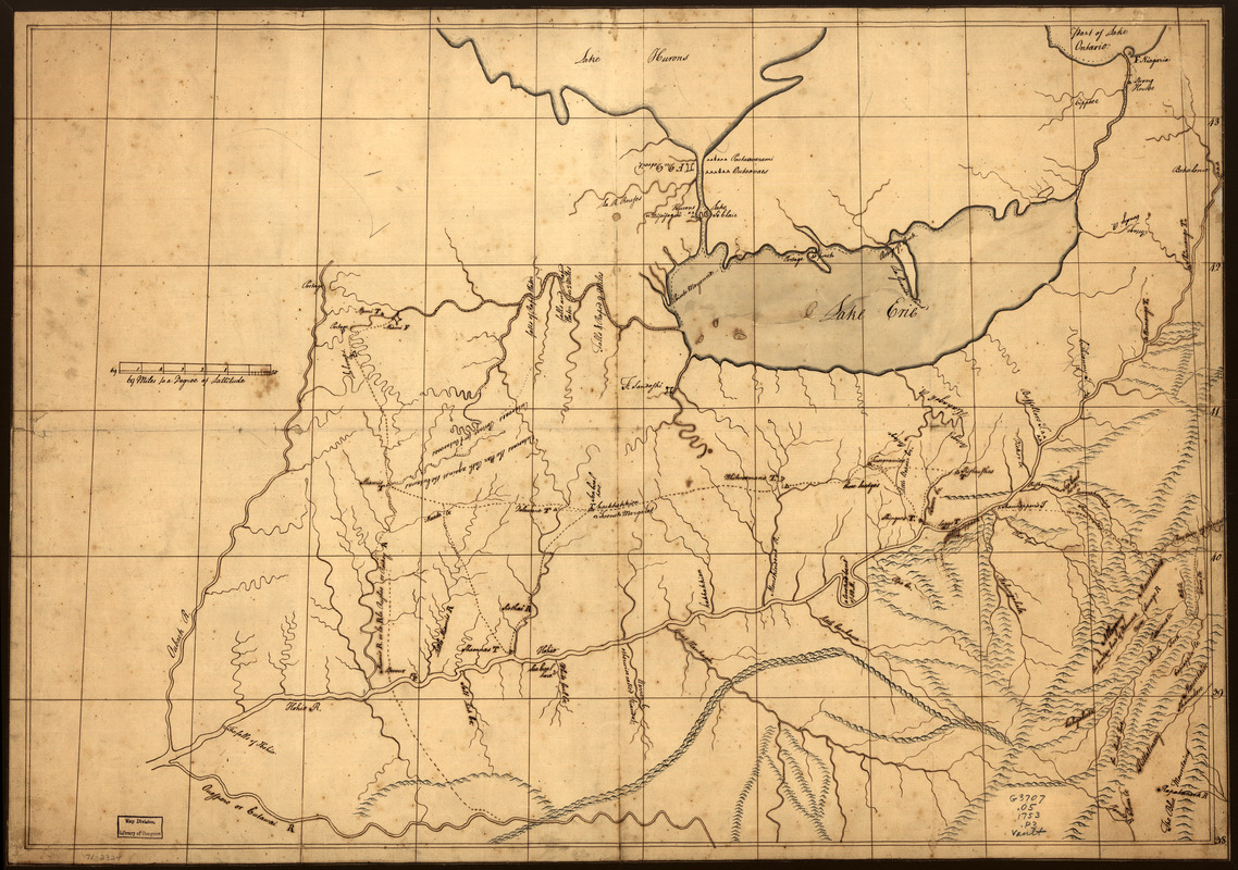
A trader's map of the Ohio country before 1753
This map is also available in American Revolutionary Geographies Online (ARGO), a collections portal especially built for material relating to the American Revolutionary War Era. Visit ARGO to learn more about this item and explore the historical geography of North America in the late eighteenth century.
Item Information
- Title:
- A trader's map of the Ohio country before 1753
- Creator:
- Patten, John, 1724 or 1725-1754
- Date:
-
[1753?]
- Format:
-
Maps/Atlases
Manuscripts
- Location:
- Library of Congress Geography and Map Division
- Collection (local):
-
Library of Congress Collection
- Subjects:
-
Ohio River Valley--Maps, Manuscript--Early works to 1800
Northwest, Old--Maps, Manuscript--Early works to 1800
- Places:
-
Ohio River
- Extent:
- 1 manuscript map : hand color 52 x 74 cm.
- Terms of Use:
-
No known copyright restrictions.
This work is licensed for use under a Creative Commons Attribution Non-Commercial Share Alike License (CC BY-NC-SA).

- Scale:
-
Scale ca. 1:1,270,000
- Language:
-
English
- Catalog Record:
-
https://lccn.loc.gov/gm71002324
- Notes:
-
Title from C. A. Hanna's The wilderness trail, 1910-1911.
Manuscript, pen-and-ink and watercolor.
Has watermarks.
Relief shown pictorially.
- Notes (citation):
-
LC Maps of North America, 1750-1789, 772
- Identifier:
-
ar077200