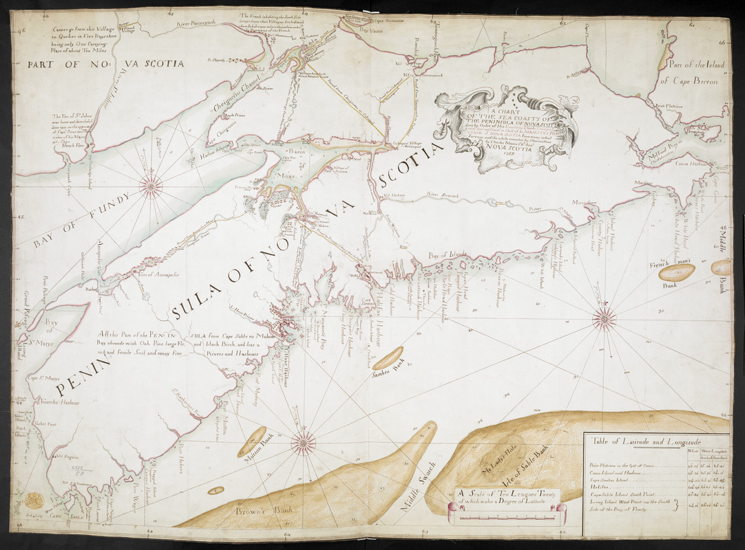
A CHART OF THE SEA COASTS OF THE PENINSULA OF NOVA SCOTIA
This map is also available in American Revolutionary Geographies Online (ARGO), a collections portal especially built for material relating to the American Revolutionary War Era. Visit ARGO to learn more about this item and explore the historical geography of North America in the late eighteenth century.
Item Information
- Title:
- A CHART OF THE SEA COASTS OF THE PENINSULA OF NOVA SCOTIA
- Surveyor:
- Morris, Charles, (Surveyor)
- Former owner:
- George, III, King of Great Britain, 1738-1820
- Donor:
- George, IV, King of Great Britain, 1762-1830
- Contributor:
- Lawrence, Charles, 1709-1760
- Name on Item:
-
done by Order of His Excellency Charles Lawrence Esqr. Lieut. Govr. and Commr. in Chief of his MAJESTY'S PROVINCE of NOVA SCOTIA from many actual Surveys, and the whole corrected by Observations by Charles Morris Ch. Survr. NOVA SCOTIA 1755.
- Date:
-
1755
- Format:
-
Maps/Atlases
Manuscripts
- Location:
- British Library
- Collection (local):
-
British Library Collection
- Subjects:
-
Nova Scotia--Maps, Manuscript--Early works to 1800
- Places:
-
CanadaNova Scotia (province)
- Extent:
- 1 map : manuscript pen and ink with watercolour on vellum ; 55 x 77 cm
- Terms of Use:
-
No known copyright restrictions.
This work is licensed for use under a Creative Commons Attribution Non-Commercial Share Alike License (CC BY-NC-SA).

- Scale:
-
Scale approximately 1:575,000
- Language:
-
English
- Catalog Record:
-
http://explore.bl.uk/BLVU1:LSCOP-ALL:BLL01016744568
- Notes:
-
The title appears in a decorative cartouche within the peninsula of Nova Scotia.
A scale at lower right gives "Ten Leagues Twenty of which make a Degree of Latitude" next to a table of latitude and longitude for major towns and other locations shown on the map.
The Bay of Fundy and the Atlantic are dissected by rhumb lines emanating from three decorative compass roses.
The map includes roads and pictorial (or at least symbolic) depictions of some of the larger settlements shown on the map.
Textual notes around the map describe recent events (forts burnt and demolished), aid transport ("there being only One carrying-Place of about Ten Miles") and inform the reader ("All this Part ... abounds with Oak, Pine, large Fir and black Birch ...").
This is a paper example of Charles Morris' map of Nova Scotia. An example on vellum forms part of the King's Topographical Collection at Maps K.Top.119.57.
Considerable decoration and artistic care are paid to this map - for presentation?
Textual notes describe recent British successes against the French in Acadia (Nova Scotia) at the end of Father Le Loutre’s War (1749–1755) [also known as the Indian War, the Micmac War and the Anglo-Micmac War].
Fort Cumberland is shown (formerly Fort Beauséjour).
Titled 'A drawn chart of the Sea Coasts of the Peninsula of Nova Scotia, done by order of H. E. Governor Lawrence, by Charles Morris, Chief Surveyor, 1755' in the Catalogue of Maps, Prints, Drawings, etc., forming the geographical and topographical collection attached to the Library of his late Majesty King George the third, etc., London, 1829.
Titled 'Another copy, on paper, of the preceding; on the same scale and size' where the preceding is 'A colored "Chart of the Peninsula of Nova Scotia, done by order of H.E. Charles Lawrence, Esq., Lieut.-Gov. and Commander-in-chief of H.M.'s province of Nova Scotia, from many actual surveys; and the whole corrected by observations by Charles Morris, chief surveyor of Nova Scotia, 1755;" drawn, on vellum, on a scale of 1 2/3 league (of 20 to a degree) to an inch. 2 f. 6 in. x 1 f. 10 in.' in the Catalogue of the manuscript maps, charts, and plans, and of the topographical drawings in the British Museum.

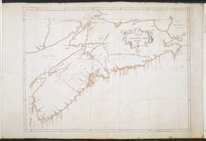
![[A map of Nova Scotia showing the post roads]](https://bpldcassets.blob.core.windows.net/derivatives/images/commonwealth:hx11z494j/image_thumbnail_300.jpg)
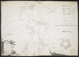
![[Acadie, Isle Saint Jean and part of Isle Royale with the Baye Francoise]](https://bpldcassets.blob.core.windows.net/derivatives/images/commonwealth:hx11z490f/image_thumbnail_300.jpg)