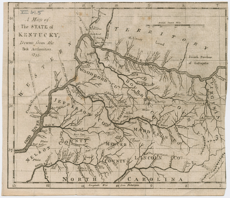
A map of the state of Kentucky
This map is also available in American Revolutionary Geographies Online (ARGO), a collections portal especially built for material relating to the American Revolutionary War Era. Visit ARGO to learn more about this item and explore the historical geography of North America in the late eighteenth century.
Item Information
- Title:
- A map of the state of Kentucky
- Date:
-
[1793]
- Format:
-
Maps/Atlases
- Location:
- Massachusetts Historical Society
- Collection (local):
-
Massachusetts Historical Society Collection
- Subjects:
-
Kentucky--Maps
- Places:
-
Kentucky
- Extent:
- 1 map ; 15 x 18 cm.
- Terms of Use:
-
No known copyright restrictions.
This work is licensed for use under a Creative Commons Attribution Non-Commercial Share Alike License (CC BY-NC-SA).

- Publisher:
-
London? :
[s.n.]
- Language:
-
English
- Catalog Record:
-
http://balthazaar.masshist.org/cgi-bin/Pwebrecon.cgi?DB=local&BBID=186186
- Notes:
-
This map appears following p. 400 in Gilbert Imlay's Topographical description of the western territory of North America, 2nd ed. (London: Debrett, 1793).
- Notes (date):
-
This date is inferred.


