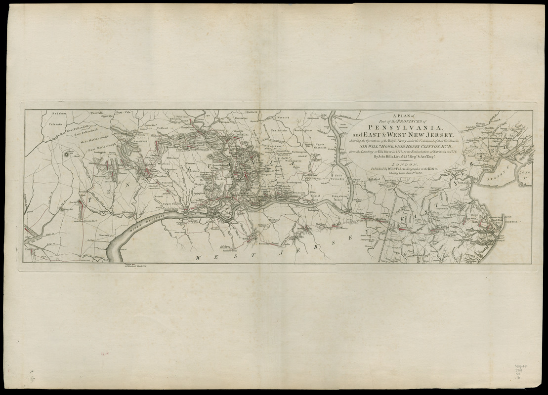
A plan of part of the provinces of Pennsylvania, and East & West New Jersey : shewing the operations of the Royal Army under the command of their Excellencies Sir Willm. Howe, & Sir Henry Clinton, Kts. B. from the landing at Elk River in 1777, to the embarkation at Navisink in 1778
This map is also available in American Revolutionary Geographies Online (ARGO), a collections portal especially built for material relating to the American Revolutionary War Era. Visit ARGO to learn more about this item and explore the historical geography of North America in the late eighteenth century.
Item Information
- Title:
- A plan of part of the provinces of Pennsylvania, and East & West New Jersey : shewing the operations of the Royal Army under the command of their Excellencies Sir Willm. Howe, & Sir Henry Clinton, Kts. B. from the landing at Elk River in 1777, to the embarkation at Navisink in 1778
- Creator:
- Hills, John ǂc (Surveyor)
- Name on Item:
-
by John Hills, Lieutt. 23d. Regt. and asst. engr.
- Date:
-
1784
- Format:
-
Maps/Atlases
Manuscripts
- Location:
- Newberry Library
- Collection (local):
-
Newberry Library Collection
- Subjects:
-
New Jersey--History--Revolution, 1775-1783--Maps
Pennsylvania--History--Revolution, 1775-1783--Maps
- Places:
-
New Jersey
Pennsylvania
- Extent:
- 1 map : hand col. ; 23 x 73 cm.
- Terms of Use:
-
No known copyright restrictions.
Contact host institution for more information.
- Publisher:
-
London :
Willm. Faden
- Scale:
-
Scale [ca. 1:292,000]
- Catalog Record:
-
https://i-share-nby.primo.exlibrisgroup.com/permalink/01CARLI_NBY/i5mcb2/alma999021458805867
- Notes:
-
Relief shown by hachures.
Positions of many individual buildings, including taverns, churches and meeting halls are shown.
Detached from: Faden, William, [Atlas of battle plans, ca. 1783], no. 16.
The atlas was previously owned by British general Sir Henry Clinton.
- Call #:
-
Map4F 3701.S3.16 (PrCt)
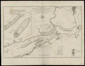
![[Plan of engagement with British ships near Red Bank, New Jersey, October 22 and 23, 1777]](https://bpldcassets.blob.core.windows.net/derivatives/images/commonwealth:9s161d76t/image_thumbnail_300.jpg)

