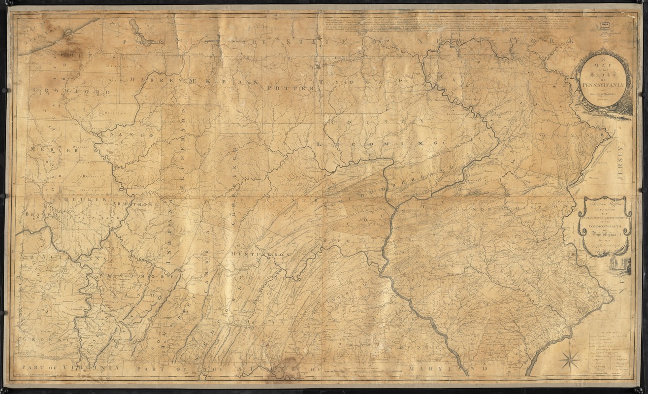
A map of the state of Pennsylvania
This map is also available in American Revolutionary Geographies Online (ARGO), a collections portal especially built for material relating to the American Revolutionary War Era. Visit ARGO to learn more about this item and explore the historical geography of North America in the late eighteenth century.
Item Information
- Title:
- A map of the state of Pennsylvania
- Cartographer:
- Howell, Reading, 1743-1827
- Bookseller:
- Phillips, James
- Name on Item:
-
by Reading Howell
- Date:
-
August 1, 1792
- Format:
-
Maps/Atlases
- Location:
- Boston Athenaeum
- Collection (local):
-
Cartographic Collection
- Subjects:
-
Pennsylvania--Maps--Early works to 1800
Pennsylvania--Administrative and political divisions--Maps--Early works to 1800
Landowners--Pennsylvania--Maps--Early works to 1800
Real property--Pennsylvania--Maps--Early works to 1800
Roads--Pennsylvania--Maps
Maps--Pennsylvania--1790-1800
- Places:
-
Pennsylvania
- Extent:
- 1 map : hand col. ; 94 x 161 cm.
- Terms of Use:
-
Collection of the Boston Athenaeum. May not be reproduced or quoted without written permission. For more information, see http://www.bostonathenaeum.org/node/46
Contact host institution for more information.
- Publisher:
-
London :
Published . . . for the author & sold by James Phillips, George Yard, Lombard Street
- Scale:
-
Scale [ca. 1:325,000]. Scale of miles 69 to a degree.
- Language:
-
English
- Catalog Record:
-
http://catalog.bostonathenaeum.org/vwebv/holdingsInfo?bibId=453418
- Notes:
-
Relief shown by hachures.
Shows county boundaries, towns, villages, forges, mills, houses, roads, inland navigation, and names of some landowners.
Includes text and statement of dedication.
- Notes (acquisition):
-
Gift; Josiah Quincy; May 14, 1863
- Notes (citation):
-
Phillips, P.L. Maps of America, p. 679
- Barcode:
-
31807008224652


