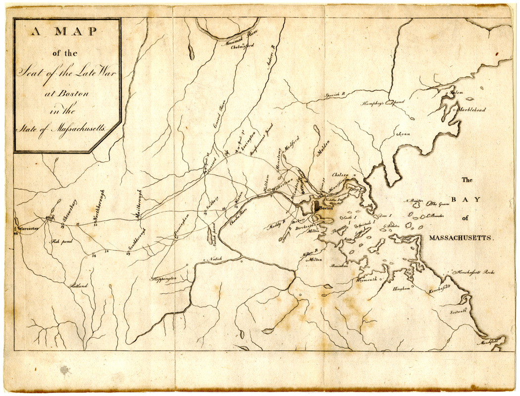
Map of the seat of the late war at Boston in the state of Massachusetts
This map is also available in American Revolutionary Geographies Online (ARGO), a collections portal especially built for material relating to the American Revolutionary War Era. Visit ARGO to learn more about this item and explore the historical geography of North America in the late eighteenth century.
Item Information
- Title:
- Map of the seat of the late war at Boston in the state of Massachusetts
- Contributor:
- Trenchard, James, 1747-
- Date:
-
[1789]
- Format:
-
Maps/Atlases
- Location:
- Boston Athenaeum
- Collection (local):
-
Cartographic Collection
- Subjects:
-
Boston Region (Mass.)--Maps--Early works to 1800
United States--History--Revolution, 1775-1783--Maps
- Places:
-
Suffolk (county)Boston
- Extent:
- 1 map ; 18 x 26 cm.
- Terms of Use:
-
No known copyright restrictions.
This work is licensed for use under a Creative Commons Attribution Non-Commercial Share Alike License (CC BY-NC-SA).

- Publisher:
-
Philadelphia :
T. Seddon, W. Spotswood, C. Cist, & J. Trenchard
- Scale:
-
Scale indeterminable
- Language:
-
English
- Catalog Record:
-
http://catalog.bostonathenaeum.org/vwebv/holdingsInfo?bibId=175398
- Notes:
-
Detached from: Columbian magazine, v. 3 (July 1789).
Depicts roads, towns, and streams. Milages from Boston and Charlestown are indicated along the roads to Worcester.
Engraved by J. Trechard.--cf. Stauffer.
- Notes (date):
-
This date is inferred.


