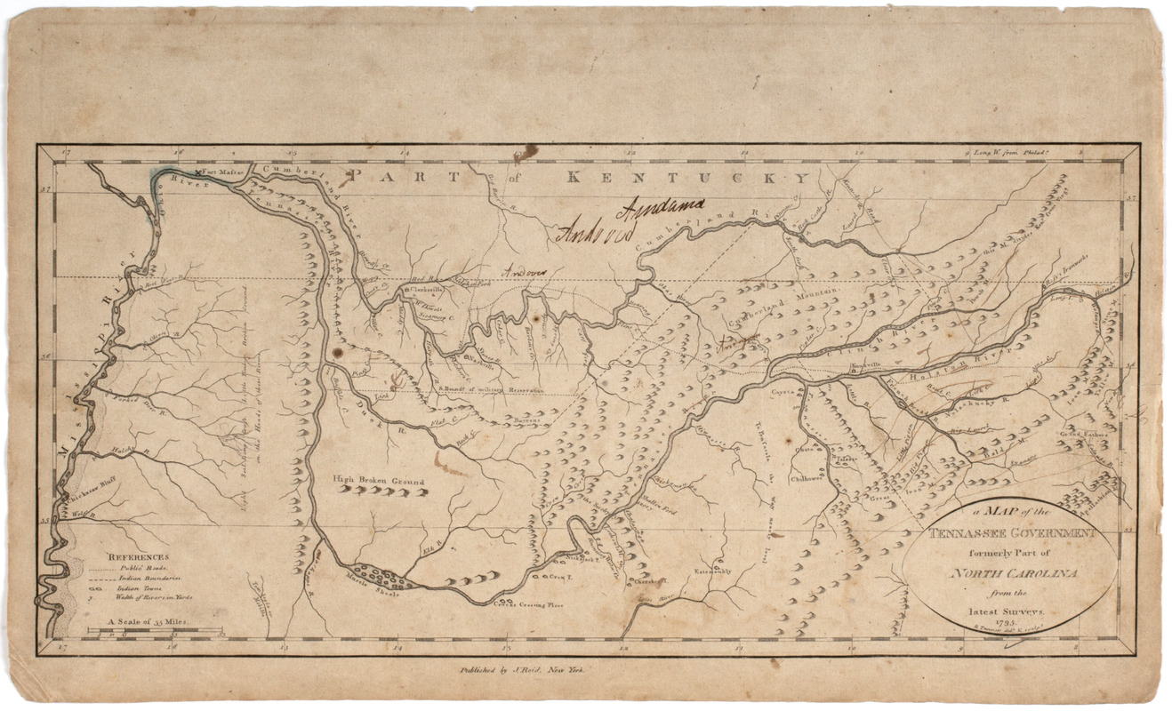
The State of South Carolina: : from the best authorities. 1796
This map is also available in American Revolutionary Geographies Online (ARGO), a collections portal especially built for material relating to the American Revolutionary War Era. Visit ARGO to learn more about this item and explore the historical geography of North America in the late eighteenth century.
Item Information
- Title:
- The State of South Carolina: : from the best authorities. 1796
- Title (uniform):
-
American atlas
- Description:
-
Subject: Map of the state of South Carolina.
- Engraver:
- Tanner, Benjamin, 1775-1848
- Name on Item:
-
Tanner sc.
- Date:
-
[1796]
- Format:
-
Maps/Atlases
- Location:
- American Antiquarian Society
- Collection (local):
-
American Antiquarian Society Collection
- Subjects:
-
South Carolina--Maps
- Places:
-
South Carolina
- Extent:
- 1 map : engraving ; 39 x 44 cm., on sheet 49 x 50 cm.
- Terms of Use:
-
Public Domain/No known restrictions on use. Contact host institution to download image.
Contact host institution for more information.
- Publisher:
-
[New York] :
Published by John Reid New York.
- Scale:
-
Scale [ca. 1:1,450,000]
- Language:
-
English
- Catalog Record:
-
http://catalog.mwa.org/vwebv/holdingsInfo?bibId=476994
- Notes:
-
Prime meridian: London and Philadelphia.
Relief shown pictorially.
From The American Atlas, New York : Published by John Reid, 1796 (Evans 31078).
- Notes (date):
-
This date is inferred.


