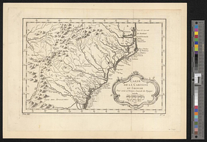
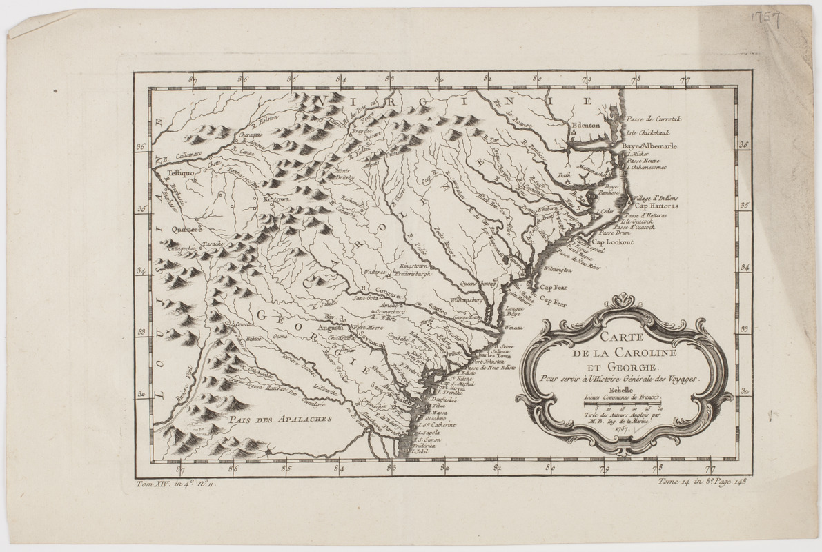
Carte de la Caroline et Georgie. : Pour servir à l'Histoire générale des voyages
This map is also available in American Revolutionary Geographies Online (ARGO), a collections portal especially built for material relating to the American Revolutionary War Era. Visit ARGO to learn more about this item and explore the historical geography of North America in the late eighteenth century.
Item Information
- Title:
- Carte de la Caroline et Georgie. : Pour servir à l'Histoire générale des voyages
- Description:
-
Subject: Map of the North and South Carolina as one state, as well as Georgia, and parts of Virginia and Louisiana.
- Creator:
- Bellin, Jacques Nicolas, 1703-1772
- Name on Item:
-
Tirée des auteurs Anglios par M.B. ind. de la marine 1757.
- Date:
-
[ca. 1757]
- Format:
-
Maps/Atlases
- Location:
- American Antiquarian Society
- Collection (local):
-
American Antiquarian Society Collection
- Subjects:
-
North Carolina--Maps
South Carolina--Maps
Georgia--Maps
- Places:
-
South Carolina
North Carolina
Georgia
- Extent:
- 1 map : engraving ; 19 x 29 cm., on sheet 25 x 38 cm.
- Terms of Use:
-
Public Domain/No known restrictions on use. Contact host institution to download image.
Contact host institution for more information.
- Publisher:
-
Paris :
[s.n.]
- Scale:
-
Scale [ca. 1:4,000,000]
- Language:
-
French
- Catalog Record:
-
http://catalog.mwa.org/vwebv/holdingsInfo?bibId=488625
- Notes:
-
Relief shown pictorially.
From Prévost, A. Histoire générale des voyages, Paris, ca. 1757.
"Tom. XIV. in 4° no. 11. Tome 14 in 8° page 148."