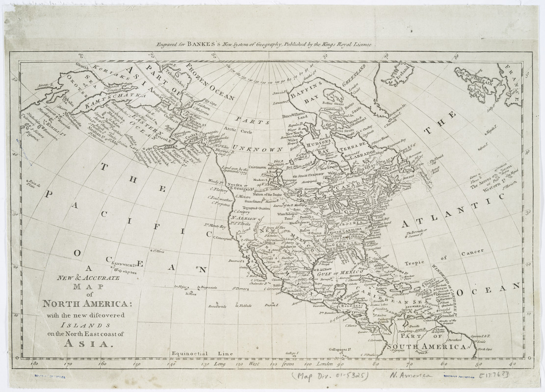
New & accurate map of North America : with the new discovered islands on the north east coast of Asia
This map is also available in American Revolutionary Geographies Online (ARGO), a collections portal especially built for material relating to the American Revolutionary War Era. Visit ARGO to learn more about this item and explore the historical geography of North America in the late eighteenth century.
Item Information
- Title:
- New & accurate map of North America : with the new discovered islands on the north east coast of Asia
- Contributor:
- Cook, John
- Date:
-
[1787?]
- Format:
-
Maps/Atlases
- Location:
- New York Public Library
- Collection (local):
-
Maps of North America
- Subjects:
-
North America--Maps--Early works to 1800
- Places:
-
North America (area)
- Extent:
- 1 map ; 27 x 44 cm.
- Terms of Use:
-
No known copyright restrictions.
This work is licensed for use under a Creative Commons Attribution Non-Commercial Share Alike License (CC BY-NC-SA).

- Publisher:
-
London :
J. Cook
- Scale:
-
Scale 1:40,000,000
- Language:
-
English
- Catalog Record:
-
https://digitalcollections.nypl.org/items/510d47da-ee85-a3d9-e040-e00a18064a99
- Notes:
-
Prime meridian: London.
"Engraved for Bankes's new system of geography, published by the Kings Royal licence."


