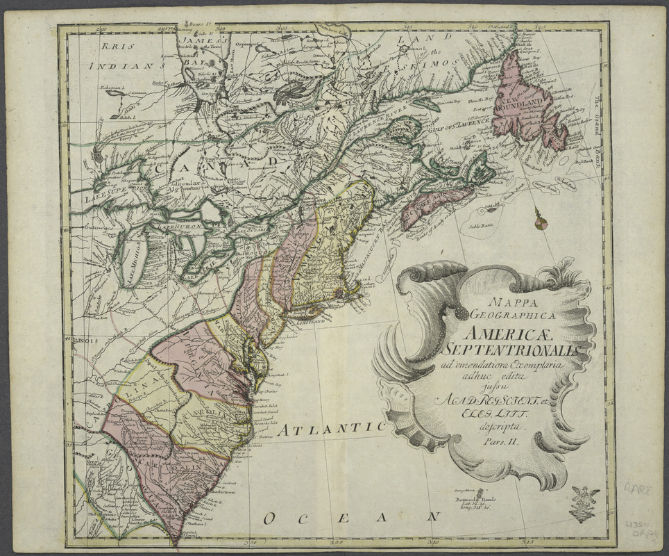
Mappa geographica Americae Septentrionalis : ad emendatiora exemplaria adhuc edita jussu Acad. reg. scient. et eleg. litt. descripta. pars. II
This map is also available in American Revolutionary Geographies Online (ARGO), a collections portal especially built for material relating to the American Revolutionary War Era. Visit ARGO to learn more about this item and explore the historical geography of North America in the late eighteenth century.
Item Information
- Title:
- Mappa geographica Americae Septentrionalis : ad emendatiora exemplaria adhuc edita jussu Acad. reg. scient. et eleg. litt. descripta. pars. II
- Creator:
- Euler, Leonhard, 1707-1783
- Date:
-
[1753]
- Format:
-
Maps/Atlases
- Location:
- New York Public Library
- Collection (local):
-
Maps of North America
- Subjects:
-
North America--Maps--Early works to 1800
- Places:
-
North America (area)
- Extent:
- 1 map : hand col. ; 35 x 35 cm.
- Terms of Use:
-
No known copyright restrictions.
This work is licensed for use under a Creative Commons Attribution Non-Commercial Share Alike License (CC BY-NC-SA).

- Publisher:
-
Berolini :
Michaelis
- Scale:
-
Scale [ca. 1:8,000,000]
- Language:
-
Latin
English
- Catalog Record:
-
https://digitalcollections.nypl.org/items/510d47da-ef99-a3d9-e040-e00a18064a99
- Notes:
-
Relief shown pictorially.
Covers colonies from St. Lawrence Gulf to Lake Superior and James Bay to Georgia.
Shows names and locations of various Indian tribes.
From L. Euler's Atlas geographicus omnes orbis terrarum regiones. 1753.
Includes decorative cartouche.
In Latin with place names in English.
- Notes (date):
-
This date is inferred.


