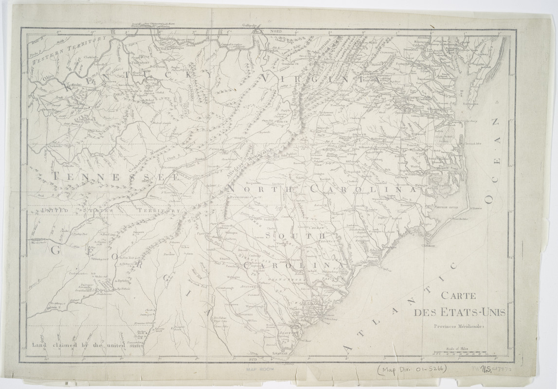
Carte des etats-unis : provinces méridionales
This map is also available in American Revolutionary Geographies Online (ARGO), a collections portal especially built for material relating to the American Revolutionary War Era. Visit ARGO to learn more about this item and explore the historical geography of North America in the late eighteenth century.
Item Information
- Title:
- Carte des etats-unis : provinces méridionales
- Creator:
- La Rochefoucauld-Liancourt, François-Alexandre-Frédéric, duc de, 1747-1827
- Publisher:
- Chez Du Pont, Imprimeur-Libraire
- Date:
-
[1799]
- Format:
-
Maps/Atlases
- Location:
- New York Public Library
- Collection (local):
-
Maps of North America
- Subjects:
-
South Atlantic States--Maps
1795–1797
- Places:
-
Florida
South Carolina
Georgia
North Carolina
- Extent:
- 1 map ; 35 x 50 cm.
- Terms of Use:
-
No known copyright restrictions.
This work is licensed for use under a Creative Commons Attribution Non-Commercial Share Alike License (CC BY-NC-SA).

- Publisher:
-
Paris :
Chez Du Pont ...
- Scale:
-
Scale [ca. 1:2,400,000]
- Language:
-
French
- Catalog Record:
-
https://digitalcollections.nypl.org/items/510d47da-ee74-a3d9-e040-e00a18064a99
- Notes:
-
Relief shown pictorially.
From La Rochefoucauld-Liancourt's Voyage dans les Etats Unis d'Amerique fait en 1795, 1796 et 1797.
- Notes (date):
-
This date is inferred.


