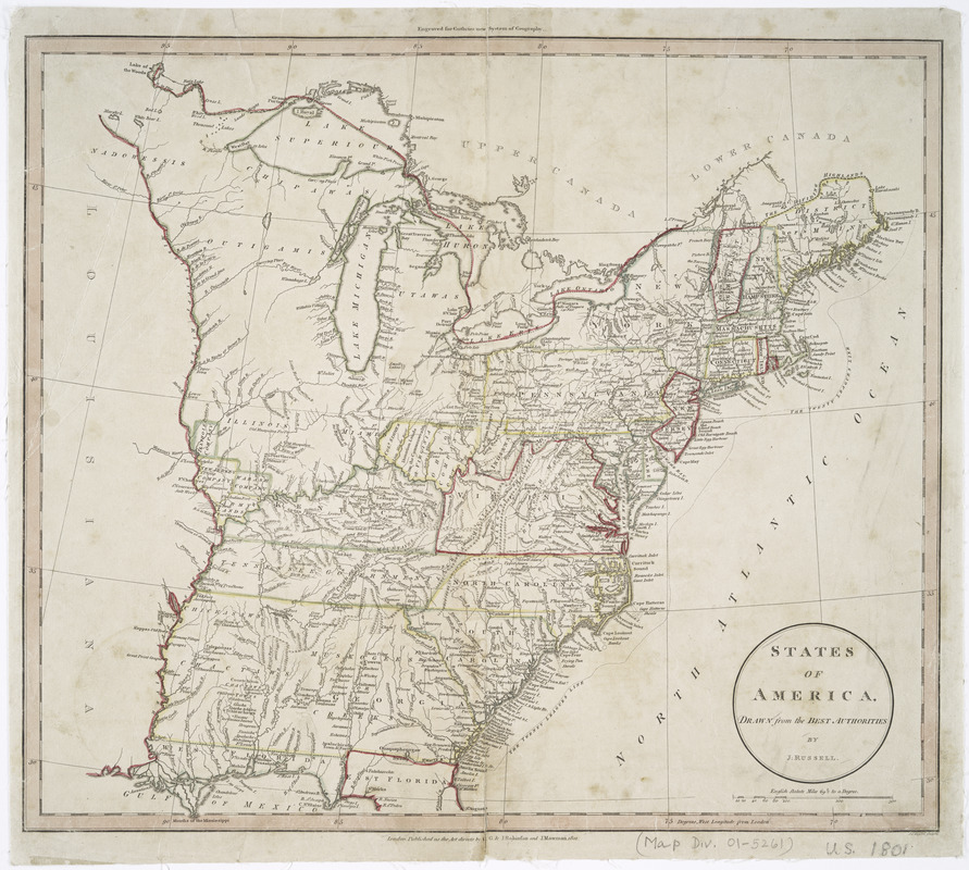
States of America, drawn from the best authorities
This map is also available in American Revolutionary Geographies Online (ARGO), a collections portal especially built for material relating to the American Revolutionary War Era. Visit ARGO to learn more about this item and explore the historical geography of North America in the late eighteenth century.
Item Information
- Title:
- States of America, drawn from the best authorities
- Creator:
- Russell, John, active 1733-1795
- Contributor:
- Mawman, Joseph, 1759-1827
- Publisher:
- G.G.J. and J. Robinson (Paternoster-Row, London, England)
- Name on Item:
-
by J. Russell.
- Date:
-
1801
- Format:
-
Maps/Atlases
- Location:
- New York Public Library
- Collection (local):
-
Maps of North America
- Subjects:
-
United States--Maps
- Places:
-
- Extent:
- 1 map : hand col. ; 39 x 44 cm.
- Terms of Use:
-
No known copyright restrictions.
This work is licensed for use under a Creative Commons Attribution Non-Commercial Share Alike License (CC BY-NC-SA).

- Publisher:
-
London :
G.G. & J. Robinson and J. Mawman
- Scale:
-
Scale [ca. 1:6,000,000]
- Language:
-
English
- Catalog Record:
-
https://digitalcollections.nypl.org/items/510d47df-f915-a3d9-e040-e00a18064a99
- Notes:
-
J. C. Russell sculpsit.
Relief shown pictorially.
"Engraved for Guthries new System of Geography."


