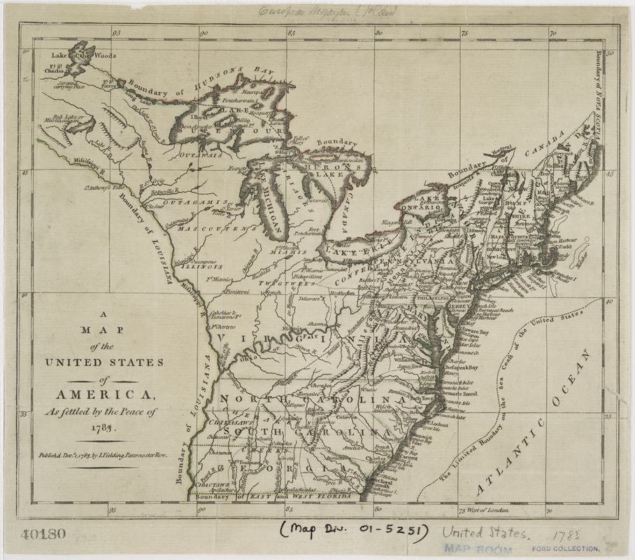
A map of the United States of America, as settled by the peace of 1783
This map is also available in American Revolutionary Geographies Online (ARGO), a collections portal especially built for material relating to the American Revolutionary War Era. Visit ARGO to learn more about this item and explore the historical geography of North America in the late eighteenth century.
Item Information
- Title:
- A map of the United States of America, as settled by the peace of 1783
- Creator:
- Fielding, I.
- Date:
-
1783
- Format:
-
Maps/Atlases
- Location:
- New York Public Library
- Collection (local):
-
Maps of North America
- Subjects:
-
United States--Maps--Early works to 1800
- Places:
-
- Extent:
- 1 map : col. ; 20 x 24 cm.
- Terms of Use:
-
No known copyright restrictions.
This work is licensed for use under a Creative Commons Attribution Non-Commercial Share Alike License (CC BY-NC-SA).

- Scale:
-
Scale 1:11,500,000
- Language:
-
English
- Catalog Record:
-
https://digitalcollections.nypl.org/items/510d47da-ee70-a3d9-e040-e00a18064a99
- Notes:
-
Covers the area east of the Mississippi River from Canada to Florida.
Shows boundaries, major towns and cities, forts Indian villages and tribal territory, rivers, and relief.
From the European magazine and London review (1873), vol. 4.
- LCCN:
-
00552212


