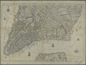
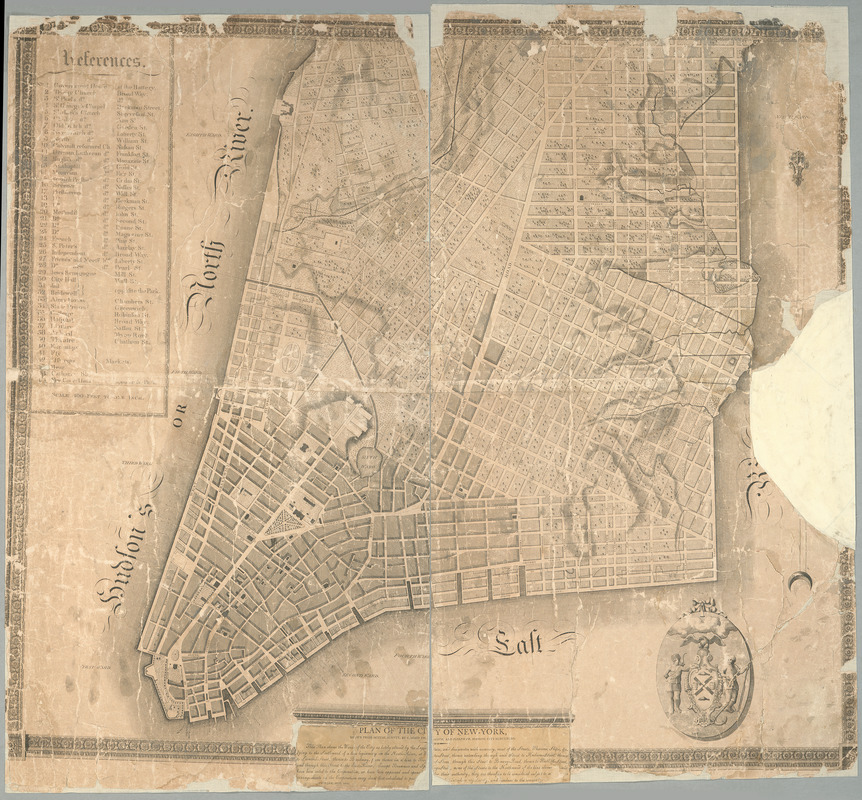
Plan of the city of New-York
Item Information
- Title:
- Plan of the city of New-York
- Creator:
- Goerck, Casimir
- Name on Item:
-
drawn from actual survey by C[a]simir Th. [G]oerck, and Joseph Fr. Mangin, city surveyors.
- Date:
-
1803
- Format:
-
Maps/Atlases
- Location:
- New York Public Library
- Collection (local):
-
Maps of New York City and State
- Subjects:
-
New York (N.Y.)--Maps
Manhattan (New York, N.Y.)--Maps
New York (N.Y.)--Administrative and political divisions--Maps
Mangin, Joseph François
- Places:
-
New YorkManhattan
- Extent:
- 1 map on 2 sheets ; 84 x 96 cm., sheets 92 x 50 cm.
- Terms of Use:
-
No known copyright restrictions.
This work is licensed for use under a Creative Commons Attribution Non-Commercial Share Alike License (CC BY-NC-SA).

- Publisher:
-
New-York :
[s.n.]
- Scale:
-
Scale [1:4,800]
- Language:
-
English
- Catalog Record:
-
https://digitalcollections.nypl.org/items/510d47da-efa8-a3d9-e040-e00a18064a99
- Notes:
-
Relief shown hachures.
Covers Manhattan as far north as Bank Street.
Shows wards.
Cartouche pasted on map.
Described in I.N.P. Stokes' Iconography of Manhattan Island, I, pl. 70, p. 454-455.
Includes index, note and ill.