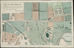
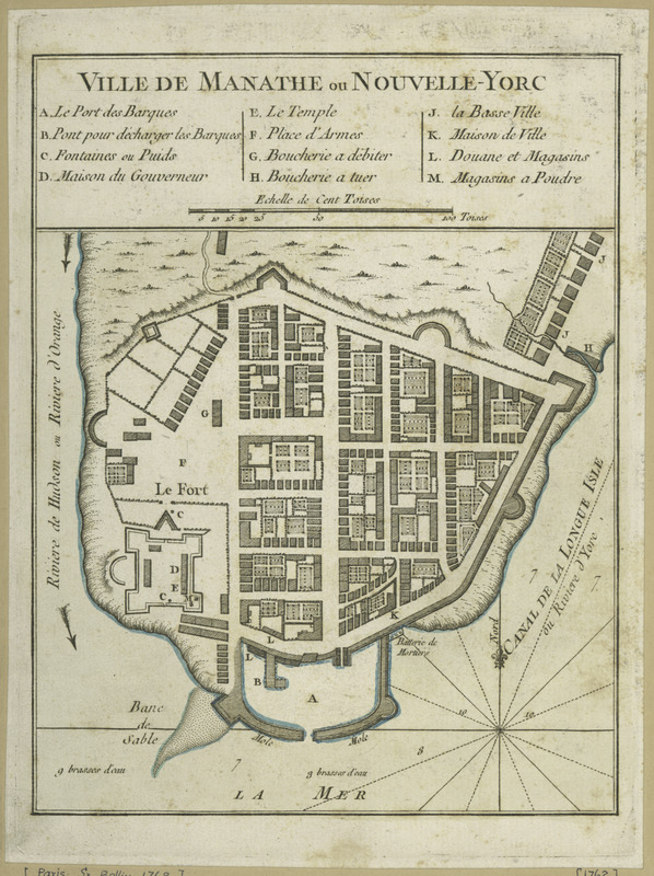
Ville de Manathe ou Nouvelle-Yorc
This map is also available in American Revolutionary Geographies Online (ARGO), a collections portal especially built for material relating to the American Revolutionary War Era. Visit ARGO to learn more about this item and explore the historical geography of North America in the late eighteenth century.
Item Information
- Title:
- Ville de Manathe ou Nouvelle-Yorc
- Creator:
- Bellin, Jacques Nicolas, 1703-1772
- Date:
-
[1764?]
- Format:
-
Maps/Atlases
- Location:
- New York Public Library
- Collection (local):
-
Maps of New York City and State
- Subjects:
-
New York (N.Y.)--Maps--Early works to 1800
Manhattan (New York, N.Y.)--Maps--Early works to 1800
- Places:
-
New YorkManhattan
- Extent:
- 1 map : hand col. ; 17 x 17 cm.
- Terms of Use:
-
No known copyright restrictions.
This work is licensed for use under a Creative Commons Attribution Non-Commercial Share Alike License (CC BY-NC-SA).

- Publisher:
-
Paris :
J.N. Bellin
- Scale:
-
Scale [ca. 1:13,500]
- Language:
-
French
- Catalog Record:
-
https://digitalcollections.nypl.org/items/510d47da-ef76-a3d9-e040-e00a18064a99
- Notes:
-
Relief shown by hachures.
Appears in Bellin's Le petit atlas maritime. 1764, v. I, pl. 33.
Includes index to points of interest.