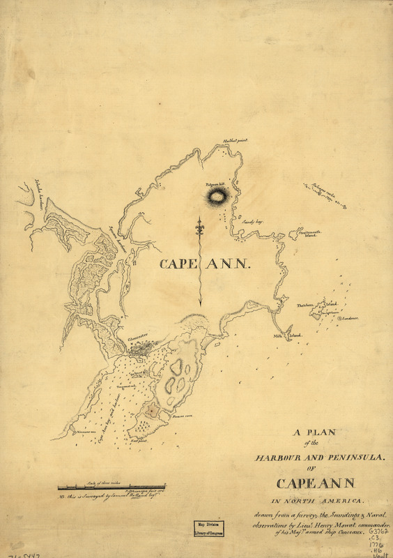
A plan of the harbour and peninsula of Cape Ann in North America
This map is also available in American Revolutionary Geographies Online (ARGO), a collections portal especially built for material relating to the American Revolutionary War Era. Visit ARGO to learn more about this item and explore the historical geography of North America in the late eighteenth century.
Item Information
- Title:
- A plan of the harbour and peninsula of Cape Ann in North America
- Creator:
- Holland, Samuel, 1728-1801
- Contributor:
- Mowat, Henry, 1734-1798
- Contributor:
- Auvergne, P. d'.
- Name on Item:
-
drawn from a survey: the soundings & naval observations by Lieut: Henry Mowat, commander of His. Majys: armed ship Canceaux P: D'Auvergne, fecit, 1776. N.B. this is surveyed by Samuel Holland, Esqr.
- Date:
-
[1776]
- Format:
-
Maps/Atlases
Manuscripts
- Location:
- Library of Congress Geography and Map Division
- Collection (local):
-
Library of Congress Geography and Map Division
- Subjects:
-
Ann, Cape (Mass.)--Maps, Manuscript--Early works to 1800
Harbors--Massachusetts--Gloucester--Maps--Early works to 1800
- Places:
-
Essex (county)Ann, Cape
Essex (county)Gloucester
- Extent:
- map on sheet 49 x 35 cm.
- Terms of Use:
-
No known copyright restrictions.
This work is licensed for use under a Creative Commons Attribution Non-Commercial Share Alike License (CC BY-NC-SA).

- Scale:
-
Scale ca. 1:53,000
- Language:
-
English
- Catalog Record:
-
https://lccn.loc.gov/gm71005447
- Notes:
-
Manuscript, pen-and-ink.
Relief shown by hachures. Depths shown by soundings.
Has watermark.
- Notes (date):
-
This date is inferred.
- LCCN:
-
gm 71005447


