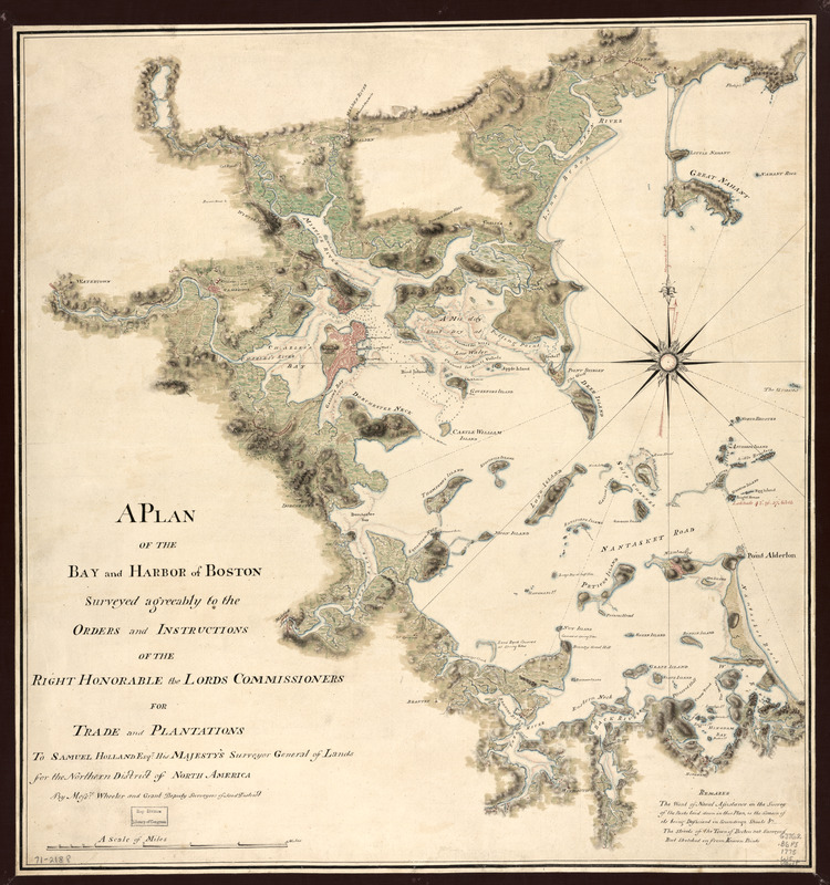
A plan of the bay and harbor of Boston : surveyed agreeably to the orders and instructions of the Right Honorable the Lords Commissioners for Trade and Plantations, to Samuel Holland, Esqr., His Majesty's Surveyor General of Lands for the Northern District of North America
This map is also available in American Revolutionary Geographies Online (ARGO), a collections portal especially built for material relating to the American Revolutionary War Era. Visit ARGO to learn more about this item and explore the historical geography of North America in the late eighteenth century.
Item Information
- Title:
- A plan of the bay and harbor of Boston : surveyed agreeably to the orders and instructions of the Right Honorable the Lords Commissioners for Trade and Plantations, to Samuel Holland, Esqr., His Majesty's Surveyor General of Lands for the Northern District of North America
- Creator:
- Wheeler, Thomas
- Author:
- Grant, James, surveyor and draughtsman
- Contributor:
- Holland, Samuel, 1728-1801
- Name on Item:
-
by Messrs. Wheeler and Grant, deputy surveyors of said District.
- Date:
-
[1775?]
- Format:
-
Maps/Atlases
Manuscripts
- Location:
- Library of Congress Geography and Map Division
- Collection (local):
-
Library of Congress Geography and Map Division
- Subjects:
-
Nautical charts--Massachusetts--Boston Bay--Early works to 1800
Nautical charts--Massachusetts--Boston Harbor--Early works to 1800
Boston Bay (Mass.)--Maps, Manuscript--Early works to 1800
Boston Harbor (Mass.)--Maps, Manuscript--Early works to 1800
Manuscript maps--Early works to 1800
- Places:
-
Boston Harbor
- Extent:
- col. map 59 x 55 cm.
- Terms of Use:
-
No known copyright restrictions.
This work is licensed for use under a Creative Commons Attribution Non-Commercial Share Alike License (CC BY-NC-SA).

- Scale:
-
Scale ca. 1:48,000
- Language:
-
English
- Catalog Record:
-
https://lccn.loc.gov/gm71002188
- Notes:
-
Relief shown by shading. Depths shown by soundings and color.
Manuscript, pen-and-ink and watercolor.
Has watermark.
- LCCN:
-
gm 71002188

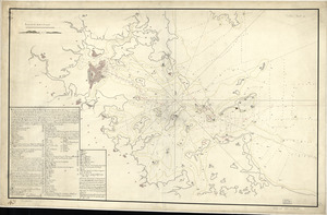
![[Boston Harbour, with the surroundings, &c]](https://bpldcassets.blob.core.windows.net/derivatives/images/commonwealth:t722hs94d/image_thumbnail_300.jpg)