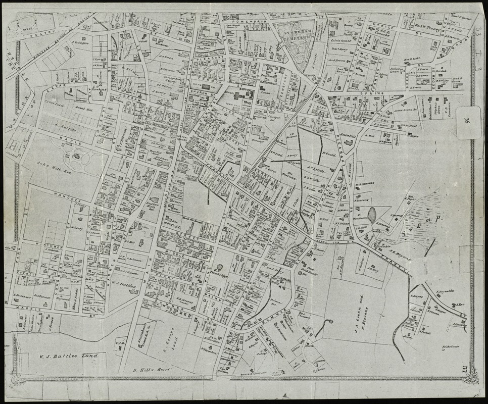
Stoneham, Massachusetts
Item Information
- Title:
- Stoneham, Massachusetts
- Date:
-
[1880?–1889?]
- Format:
-
Maps/Atlases
- Location:
- Lucius Beebe Memorial Library
- Collection (local):
-
Lucius Beebe Memorial Library Historic Maps
- Places:
-
Middlesex (county)Stoneham
- Extent:
- 1 map : b&w ; 37 x 31 cm.
- Terms of Use:
-
No known copyright restrictions.
No known restrictions on use.
- Publisher:
-
Boston :
Geo H. Walker & Co.
- Scale:
-
Scale [1:4,200]
- Language:
-
English
- Notes:
-
Map is presumed to be a sheet (page 57) from an atlas of Middlesex County, published by George H. Walker of Boston.
Map depicts Wakefield, Stoneham, Reading, Lynnfield, and the southern part of North Reading in 1907, showing streets, bodies of water, hills, railroad stations and lines, and post offices.
- Call #:
-
Local History Map Case Stoneham 188?
- Barcode:
-
31392003576554


