Town of Wakefield, Mass.
Item Information
- Title:
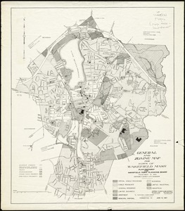
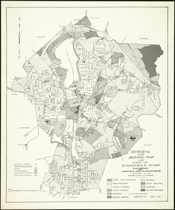
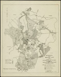
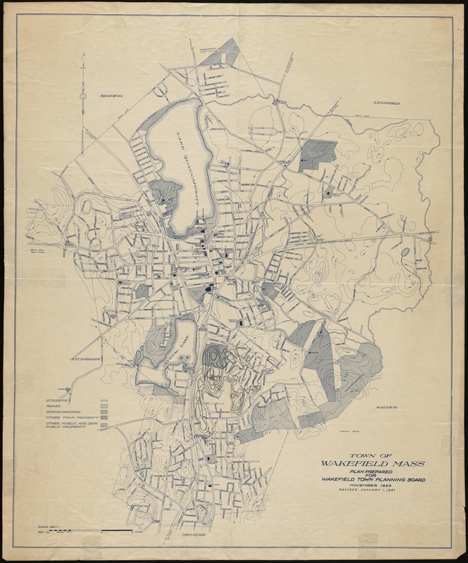
- Town of Wakefield, Mass.
- Sponsor:
- Wakefeld (Mass.). Town Planning Board
- Contributor:
- Comey, Arthur C. (Arthur Coleman), 1886-1954
- Name on Item:
-
plan prepared for Wakefield Town Planning Board, November, 1924
- Date:
-
1924
- Format:
-
Maps/Atlases
- Genre:
-
Topographic maps
- Location:
- Lucius Beebe Memorial Library
- Collection (local):
-
Lucius Beebe Memorial Library Historic Maps
- Subjects:
-
Zoning
- Places:
-
Middlesex (county)Wakefield
- Extent:
- 1 map : b&w ; 73 x 60 cm.
- Terms of Use:
-
No known copyright restrictions.
No known restrictions on use.
- Publisher:
-
Wakefield, Mass. :
Town Planning Board
- Scale:
-
Scale ca. 1:4,800
- Language:
-
English
- Notes:
-
Map depicts Wakefield in 1924, showing roads, existing and proposed, railroad lines and stations, parks, playgrounds, schoolgrounds, and other public and semi-public property. Topography is shown with a 20 foot contour interval.
- Notes (date):
-
Prepared for Wakefield Town Planning Board November 1922 Revised January 1, 1941.
- Call #:
-
Local History Map Case Wakefield 1941-1
- Barcode:
-
31392004614677