Land Utilization : Town of Wakefield
Item Information
- Title:
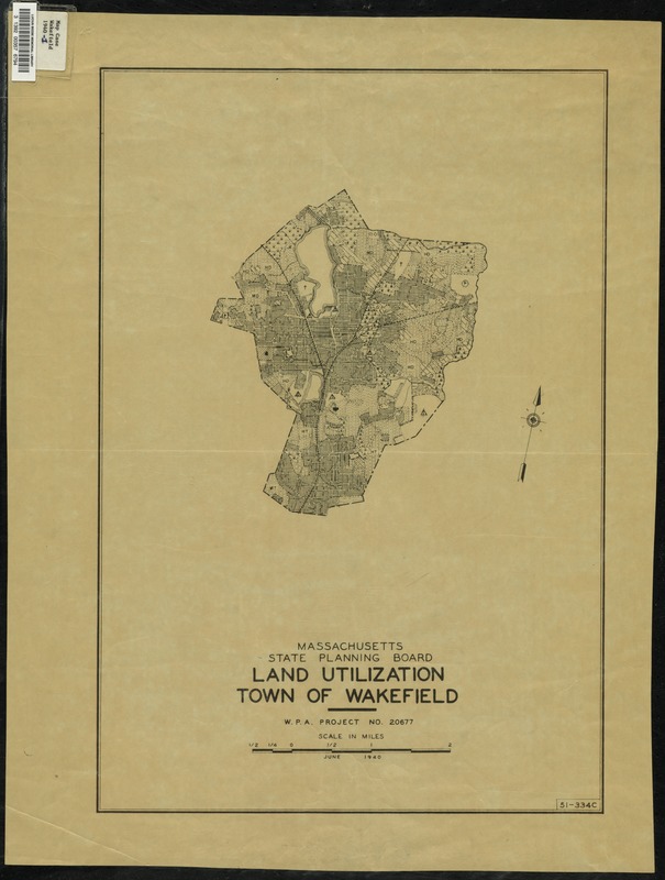
- Land Utilization : Town of Wakefield
- Sponsor:
- Massachusetts. State Planning Board
- Name on Item:
-
[sponsored by] Massachusetts State Planning Board
- Date:
-
June 1940
- Format:
-
Maps/Atlases
- Location:
- Lucius Beebe Memorial Library
- Collection (local):
-
Lucius Beebe Memorial Library Historic Maps
- Subjects:
-
Soils
Geology
- Places:
-
Middlesex (county)Wakefield
- Extent:
- 1 map ; 49 x 33 cm.
- Terms of Use:
-
No known copyright restrictions.
No known restrictions on use.
- Publisher:
-
[s.l.] :
Massachusetts. State Planning Board
- Language:
-
English
- Notes:
-
Based on U.S.D.A. soil survey.
"W.P.A. project no. 20677."
Map depicts entire town of Wakefield in 1940, showing major streets, bodies of water, and soil classification areas. The map contains no legend.
- Call #:
-
Local History Map Case Wakefield 1940-1
- Barcode:
-
31392003576794


