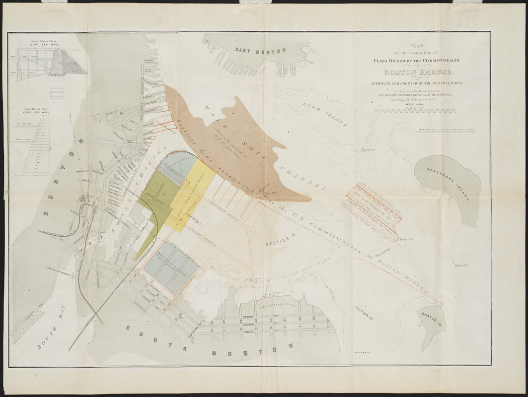
Plan for the occupation of flats owned by the Commonwealth in Boston Harbor
Item Information
- Title:
- Plan for the occupation of flats owned by the Commonwealth in Boston Harbor
- Contributor:
- Board of Harbor and Land Commissioners of Massachusetts
- Date:
-
1868
- Format:
-
Maps/Atlases
- Location:
- Private Collection
- Collection (local):
-
Mapping Boston Collection
- Subjects:
-
Harbors--Massachusetts--Boston--Maps
Boston (Mass.)--Maps
South Boston (Boston, Mass.)--Maps
- Places:
-
Suffolk (county)BostonSouth Boston
- Extent:
- 1 map : color ; 37 x 54 cm
- Terms of Use:
-
No known copyright restrictions.
This work is licensed for use under a Creative Commons Attribution Non-Commercial Share Alike License (CC BY-NC-SA).

- Publisher:
-
[Boston] :
[Board of Harbor Commissioners]
- Scale:
-
Scale 1:10,000
- Language:
-
English
- Notes:
-
Oriented with north toward the upper left.
"Approved and adopted by the General Court, by Chap. 81 of the Resolves of 1866, and modified according to Chap. 354 of the Acts of 1867 and Chap. 326 of the Acts of 1868."
Includes note and 2 inset diagrams.
Diagrams: South Boston Flats light sea wall -- South Boston Flats heavy sea wall.
- Identifier:
-
06_01_001174
- Barcode:
-
39999085930590


