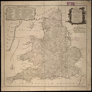
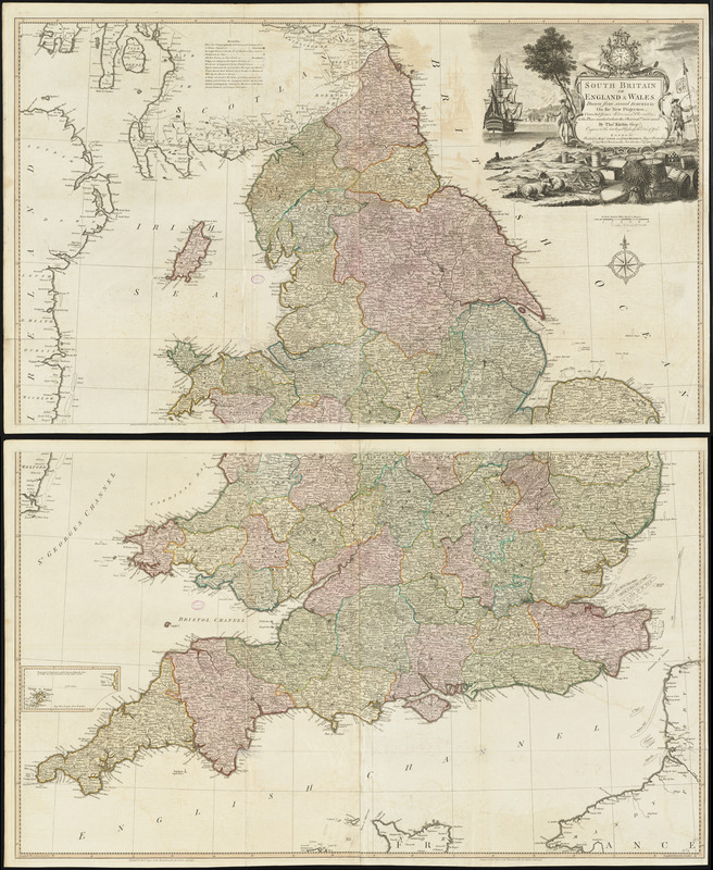
South Britain or England & Wales : drawn from several surveys &c. on the new projection ; corrected from astronomical observations, & the places marked where the observatns. were made
Item Information
- Title:
- South Britain or England & Wales : drawn from several surveys &c. on the new projection ; corrected from astronomical observations, & the places marked where the observatns. were made
- Creator:
- Kitchin, Thomas, 1718-1784
- Cartographer:
- Kitchin, Thomas, 1718-1784
- Publisher:
- Robert Sayer and John Bennett (Firm)
- Name on Item:
-
by Thos. Kitchin, geogr. engraver to His Late Royal Highness the Duke of York
- Date:
-
1777
- Format:
-
Maps/Atlases
- Location:
-
Boston Public Library
Norman B. Leventhal Map Center - Collection (local):
-
Norman B. Leventhal Map Center Collection
- Subjects:
-
England--Maps--Early works to 1800
Wales--Maps--Early works to 1800
- Places:
-
England
Wales
- Extent:
- 1 map on 2 sheets : hand colored ; 126 x 107 cm, sheets 68 x 112 cm
- Terms of Use:
-
No known copyright restrictions.
No known restrictions on use.
- Publisher:
-
London :
Printed for Robt. Sayer and John Bennett
- Scale:
-
Scale approximately 1:575,000
- Language:
-
English
- Notes:
-
Originally printed on 4 sheets. Boston Public Library copy joined to 2 sheets.
Relief shown pictorially.
Inset map: Isles of Scilly.
Conservation of this piece was funded by Alan and Sherry Leventhal in memory of his father, Norman B. Leventhal whose vision to create this Map Center will inspire generations to come.
Maps 3-4 in a composite atlas with the title "Atlas of the world."
- Identifier:
-
06_01_014661
- Call #:
-
G1015 .A85 1783
- Barcode:
-
30000004730188