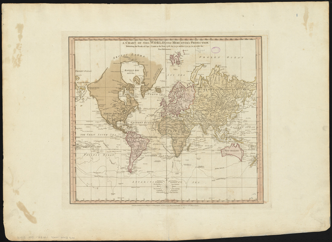
A chart of the world upon Mercator's projection : describing the tracks of Capt. Cook in the year 1768, 69, 70, 71, and in 1772, 73, 74, 75, with the new discoveries
Item Information
- Title:
- A chart of the world upon Mercator's projection : describing the tracks of Capt. Cook in the year 1768, 69, 70, 71, and in 1772, 73, 74, 75, with the new discoveries
- Creator:
- Faden, William, 1749-1836
- Date:
-
1775
- Format:
-
Maps/Atlases
- Location:
-
Boston Public Library
Norman B. Leventhal Map Center - Collection (local):
-
Norman B. Leventhal Map Center Collection
- Subjects:
-
Voyages around the world--Maps--Early works to 1800
Discoveries in geography--British--Maps--Early works to 1800
World maps--Early works to 1800
Cook, James, 1728-1779
- Places:
-
World
- Extent:
- 1 map : hand colored ; 38 x 44 cm
- Terms of Use:
-
No known copyright restrictions.
No known restrictions on use.
- Publisher:
-
London :
William Faden
- Scale:
-
Scale approximately 1:94,000,000]
- Language:
-
English
- Notes:
-
Relief shown pictorially.
Conservation of this piece was funded by Alan and Sherry Leventhal in memory of his father, Norman B. Leventhal whose vision to create this Map Center will inspire generations to come.
Map 1 in a composite atlas with the title "Atlas of the world."
- Identifier:
-
06_01_014662
- Call #:
-
G1015 .A85 1783
- Barcode:
-
30000004729190