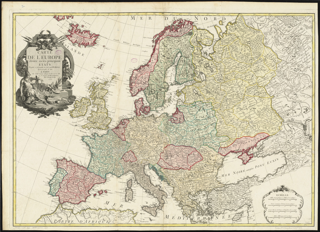
Carte de l'Europe divisée en ses principaux états
Item Information
- Title:
- Carte de l'Europe divisée en ses principaux états
- Creator:
- Bonne, Rigobert, 1727-1794
- Cartographer:
- Bonne, Rigobert, 1727-1794
- Publisher:
- Lattré, Jean
- Name on Item:
-
projettée et assujettie au ciel par M. Bonne, hydrographe du roi
- Date:
-
1779
- Format:
-
Maps/Atlases
- Location:
-
Boston Public Library
Norman B. Leventhal Map Center - Collection (local):
-
Norman B. Leventhal Map Center Collection
- Subjects:
-
Europe--Maps
- Places:
-
Europe
Europe
- Extent:
- 1 map : color ; 69 x 98 cm
- Terms of Use:
-
No known copyright restrictions.
No known restrictions on use.
- Publisher:
-
Paris :
Chez Lattré
- Scale:
-
Scale approximately 1:5,900,000
- Language:
-
French
- Notes:
-
Relief shown pictorially.
Prime meridian: [Ferro].
Decorative title cartouche.
In a composite atlas with the title "Atlas of the world."
Conservation of this piece was funded by Alan and Sherry Leventhal in memory of his father, Norman B. Leventhal whose vision to create this Map Center will inspire generations to come.
Map 2 in a composite atlas with the title "Atlas of the world."
- Identifier:
-
06_01_014248
- Call #:
-
G1015 .A85 1783
- Barcode:
-
30000004585648


