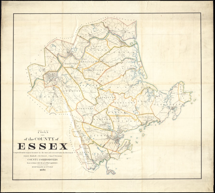
Plan of the county of Essex : compiled from the original furnished by the state and corrected under the direction of James Kimball, J.B. Sweet, Chas. P. Preston, county commissioners : in accordance with the act of the legislature, (see chap 17 sec 8 gen'l statutes)
Item Information
- Title:
- Plan of the county of Essex : compiled from the original furnished by the state and corrected under the direction of James Kimball, J.B. Sweet, Chas. P. Preston, county commissioners : in accordance with the act of the legislature, (see chap 17 sec 8 gen'l statutes)
- Creator:
- Walling, Henry Francis, 1825-1888
- Name on Item:
-
by H.F Walling & O.W. Gray.
- Date:
-
1871
- Format:
-
Maps/Atlases
- Location:
-
Boston Public Library
Norman B. Leventhal Map Center - Collection (local):
-
Norman B. Leventhal Map Center Collection
- Subjects:
-
Essex County (Mass.)--Maps
- Places:
-
Essex (county)
- Extent:
- 1 map : hand-colored ; 139 x 158 cm
- Terms of Use:
-
No known copyright restrictions.
No known restrictions on use.
- Publisher:
-
[Place of publication not identified] :
[publisher not identified]
- Scale:
-
Scale approximately 1:39,500
- Language:
-
English
- Identifier:
-
06_01_012302
- Call #:
-
G3763.E7 1871 .W35
- Barcode:
-
39999065697458


