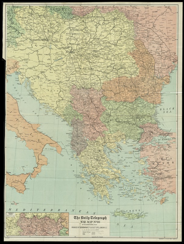
The Daily Telegraph war map no. 10
Item Information
- Title:
- The Daily Telegraph war map no. 10
- Title (alt.):
-
Daily Telegraph war map (no. 10) : showing on a large scale the Balkans and Eastern Europe
- Title (uniform):
-
Daily telegraph (London, England)
- Creator:
- Gross, Alexander, 1879-1958
- Name on Item:
-
by Alexander Gross, F.R.G.S. ; produced by "Geographia" Ltd.
- Date:
-
[1914?]
- Format:
-
Maps/Atlases
- Location:
-
Boston Public Library
Norman B. Leventhal Map Center - Collection (local):
-
Norman B. Leventhal Map Center Collection
- Subjects:
-
World War, 1914-1918--Europe--Maps
World War, 1914-1918--Balkan Peninsula--Maps
Balkan Peninsula--Maps
Europe--Maps
- Places:
-
Europe
Balkan Peninsula (area)
Europe
- Extent:
- 1 map : color ; 98 x 73 cm, folded in cover 21 x 13 cm
- Terms of Use:
-
No known copyright restrictions.
No known restrictions on use.
- Publisher:
-
London :
"Geographia" Ltd.
- Scale:
-
Scale approximately 1:2,000,000
- Language:
-
English
- Notes:
-
Inset: Northern Serbia.
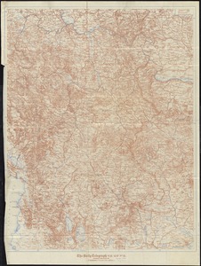
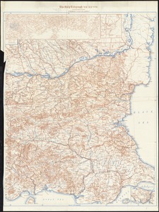
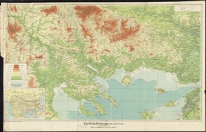
Covers Austria, Hungary, the Balkan peninsula, and parts of bordering states at the outbreak of World War I.
- Identifier:
-
06_01_012049
- Call #:
-
G5701.S65 1915 .G76
- Barcode:
-
39999065692723