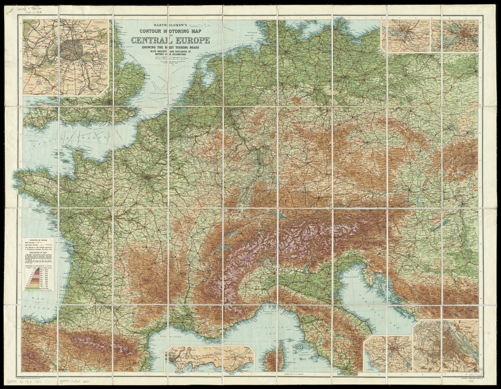
Bartholomew's contour motoring map of Central Europe showing the best touring roads with heights and distances in metres and kilometres
Item Information
- Title:
- Bartholomew's contour motoring map of Central Europe showing the best touring roads with heights and distances in metres and kilometres
- Creator:
- John Bartholomew & Co
- Date:
-
[1913?]
- Format:
-
Maps/Atlases
- Location:
-
Boston Public Library
Norman B. Leventhal Map Center - Collection (local):
-
Norman B. Leventhal Map Center Collection
- Subjects:
-
Roads--Europe, Central--Maps
Europe, Central--Maps
- Places:
-
Central Europe (area)
- Extent:
- 1 map : color ; 72 x 95 cm, folded to 21 x 12 cm
- Terms of Use:
-
No known copyright restrictions.
No known restrictions on use.
- Publisher:
-
[Edinburgh] :
John Bartholomew & Co.,
- Scale:
-
Scale 1:2,000,000
- Language:
-
English
- Notes:
-
Date of publication taken from date of acquisition.
Relief shown by gradient tints.
Insets: Paris -- Hamburg -- Berlin -- Vienna -- Rome -- Nice to Monaco.
- Identifier:
-
06_01_012034
- Call #:
-
G5701.P2 1913 .J64
- Barcode:
-
39999065692830