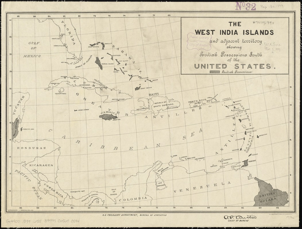
The West India Islands and adjacent territory showing British possessions south of the United States
Item Information
- Title:
- The West India Islands and adjacent territory showing British possessions south of the United States
- Creator:
- United States. Department of the Treasury. . Bureau of Statistics
- Date:
-
[1890?–1899?]
- Format:
-
Maps/Atlases
- Location:
-
Boston Public Library
Norman B. Leventhal Map Center - Collection (local):
-
Norman B. Leventhal Map Center Collection
- Subjects:
-
Caribbean Area--Maps
West Indies--Maps
Great Britain--Territories and possessions--Maps
- Places:
-
West Indies
Caribbean Sea
- Extent:
- 1 map ; 30 x 44 cm
- Terms of Use:
-
No known copyright restrictions.
No known restrictions on use.
- Publisher:
-
Washington D.C. ; Washington, D.C. :
U.S. Treasury Department, Bureau of Statistics, ; Norris Peters Co.
- Scale:
-
Scale approximately 1:8,200,000
- Language:
-
English
- Notes:
-
L. Olszewski - Washington, D.C.
- Identifier:
-
06_01_011844
- Call #:
-
G4900 1899 .U55
- Barcode:
-
39999065690594


