Stovel's map of Winnipeg, including St. Boniface and surrounding suburbs
Item Information
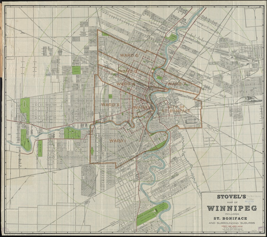
- Title:
- Stovel's map of Winnipeg, including St. Boniface and surrounding suburbs
- Title (alt.):
-
Stovel's new indexed pocket map of Winnipeg and St. Boniface with surroundings suburbs
- Creator:
- Stovel Co
- Date:
-
1917
- Format:
-
Maps/Atlases
- Location:
-
Boston Public Library
Norman B. Leventhal Map Center - Collection (local):
-
Norman B. Leventhal Map Center Collection
- Subjects:
-
Winnipeg (Man.)--Maps
St. Boniface (Winnipeg, Man.)--Maps
- Places:
-
CanadaProvince of Manitoba (province)Winnipeg
CanadaProvince of Manitoba (province)Saint Boniface
- Extent:
- 1 map ; 60 x 68 cm., folded in cover 20 x 10 cm.
- Terms of Use:
-
No known copyright restrictions.
No known restrictions on use.
- Publisher:
-
Winnipeg :
Stovel Co.
- Scale:
-
Scale [ca. 1:30,500]
- Language:
-
English
- Notes:
-
Shows streets, wards, parks, railroads and radial distances from city hall.
Index on verso.
- Identifier:
-
06_01_011651
- Call #:
-
G3484.W5 1917 .S76
- Barcode:
-
39999065687509


