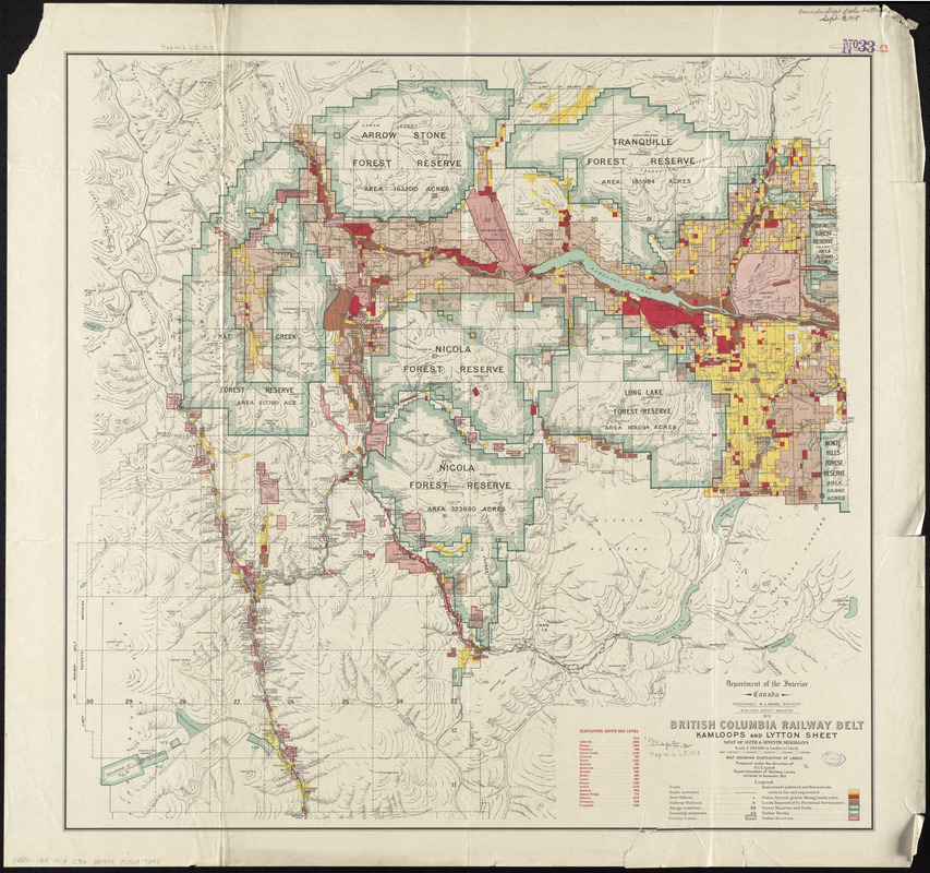
British Columbia Railway Belt, Kamloops and Lytton sheet : west of sixth & seventh meridians : map showing disposition of lands
Item Information
- Title:
- British Columbia Railway Belt, Kamloops and Lytton sheet : west of sixth & seventh meridians : map showing disposition of lands
- Creator:
- Canada. Department of the Interior
- Contributor:
- Lynch, F. C. C. (Francis Christopher Chisholm), 1884-
- Name on Item:
-
prepared under the direction of F.C.C. Lynch, Superintendent of Railway Lands
- Date:
-
1913
- Format:
-
Maps/Atlases
- Location:
-
Boston Public Library
Norman B. Leventhal Map Center - Collection (local):
-
Norman B. Leventhal Map Center Collection
- Subjects:
-
Public lands--British Columbia--Cariboo Region--Maps
Land grants--British Columbia--Cariboo Region--Maps
Land use--British Columbia--Cariboo Region--Maps
Cariboo Region (B.C.)--Maps
Cariboo (B.C. : Regional district)--Maps
Thompson-Nicola (B.C.)--Maps
- Places:
-
CanadaProvince of British Columbia (province)Cariboo Mountains
Thompson-Nicola Regional District
- Extent:
- 1 map : color ; 74 x 78 cm
- Terms of Use:
-
No known copyright restrictions.
No known restrictions on use.
- Publisher:
-
[Ottawa?] :
Department of the Interior
- Edition:
- Corrected to September 1913.
- Scale:
-
Scale 1:190,080
- Language:
-
English
- Notes:
-
Relief shown by hachures and spot heights.
Shows homesteads, grants, reserves and leases, trails, railways, etc.
In its British Columbia railway belt. Ottawa : Department of the Interior, 1913.
- Identifier:
-
06_01_011637
- Call #:
-
G3511.G4 1913 .C36
- Barcode:
-
30000005067077


