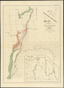
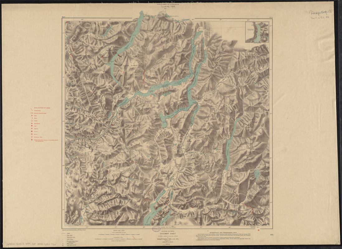
British Columbia, Shuswap sheet : economic minerals and glacial striae
Item Information
- Title:
- British Columbia, Shuswap sheet : economic minerals and glacial striae
- Title (alt.):
-
Shuswap sheet
- Creator:
- Dawson, George Mercer, 1849-1901
- Name on Item:
-
by George M. Dawson, assisted by James McEvoy, 1898 ; compiled and drawn by James McEvoy.
- Date:
-
1899
- Format:
-
Maps/Atlases
- Location:
-
Boston Public Library
Norman B. Leventhal Map Center - Collection (local):
-
Norman B. Leventhal Map Center Collection
- Subjects:
-
Mines and mineral resources--British Columbia--Shuswap Highland--Maps
Glacial landforms--British Columbia--Shuswap Highland--Maps
Geology--British Columbia--Shuswap Highland--Maps
North Okanagan (B.C.)--Maps
Shuswap Highland (B.C.)--Maps
Columbia-Shuswap (B.C.)--Maps
- Places:
-
Shuswap Highland
Regional District of North Okanagan
Columbia-Shuswap Regional District
- Extent:
- 1 map : col. ; 54 x 51 cm.
- Terms of Use:
-
No known copyright restrictions.
No known restrictions on use.
- Publisher:
-
Ottawa :
Geological Survey of Canada
- Scale:
-
Scale 1:253,440. 4 statute miles to 1 inch
- Language:
-
English
- Notes:
-
Covers an area in southeastern British Columbia. Most of the area covered is in the Regional District of North Okanagan; the area includes Adams Lake, Shuswap Lake, Salmon Arm, Enderby, Armstrong, and Vernon.
Relief shown by contours, shading, and spot heights. Depths shown by soundings.
Also shows roads, trails, and Indian villages.
Includes inset of the northern portion of Adams Lake.
"Sheet No. 11"--Upper margin.
"669"--Lower right margin.
- Identifier:
-
06_01_011617
- Call #:
-
G3512.S45C5 1899 .D39
- Barcode:
-
39999065687764