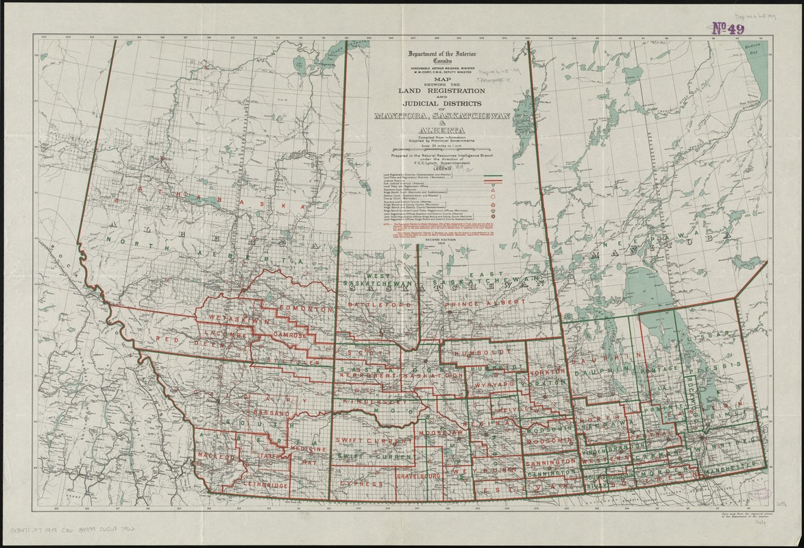
Map showing the land registration and judicial districts of Manitoba, Saskatchewan & Alberta : compiled from information supplied by provincial governments
Item Information
- Title:
- Map showing the land registration and judicial districts of Manitoba, Saskatchewan & Alberta : compiled from information supplied by provincial governments
- Creator:
- Canada. Natural Resources Intelligence Branch
- Name on Item:
-
prepared in the Natural Resources Intelligence Branch under the direction of F.C.C. Lynch, superintendent.
- Date:
-
1919
- Format:
-
Maps/Atlases
- Location:
-
Boston Public Library
Norman B. Leventhal Map Center - Collection (local):
-
Norman B. Leventhal Map Center Collection
- Subjects:
-
Land titles--Registration and transfer--Prairie Provinces--Maps
Judicial districts--Prairie Provinces--Maps
Prairie Provinces--Maps
Prairie Provinces--Administrative and political divisions--Maps
- Places:
-
CanadaPrairies (area)
- Extent:
- 1 map : col. ; 53 x 82 cm
- Terms of Use:
-
No known copyright restrictions.
No known restrictions on use.
- Publisher:
-
[Ottawa] :
Canada, Dept. of the Interior
- Edition:
- 2nd ed.
- Scale:
-
Scale 1:2,217,600
- Language:
-
English
- Notes:
-
Three classes of boundaries, land registration offices, locations of courts, railroads & survey grid.
Relief shown by spot heights.
- Identifier:
-
06_01_011609
- Call #:
-
G3471.F7 1919 .C36
- Barcode:
-
39999065687962


