Bacon's new large-print map of Alaska & the Klondike : compiled from the most recent government surveys and showing routes to the gold fields
Item Information
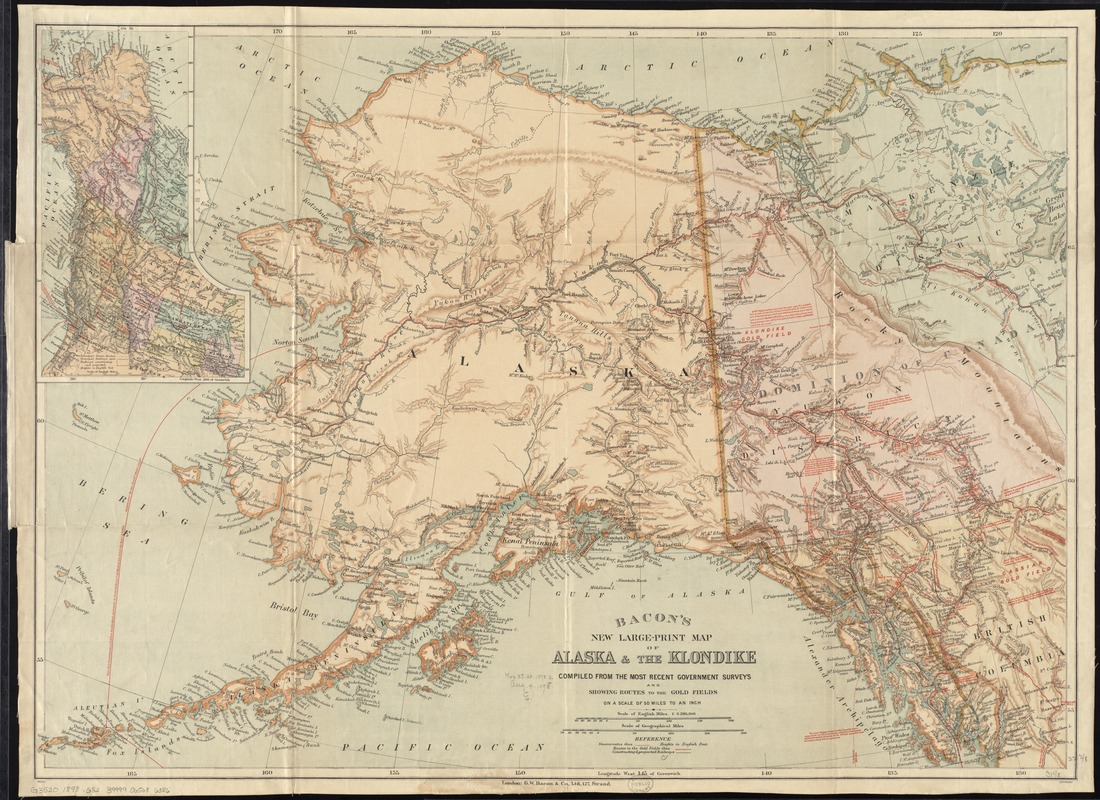
- Title:
- Bacon's new large-print map of Alaska & the Klondike : compiled from the most recent government surveys and showing routes to the gold fields
- Title (alt.):
-
Bacon's new large-print map of Alaska and the Klondike
- Creator:
- G.W. Bacon & Co
- Date:
-
[1898?]
- Format:
-
Maps/Atlases
- Location:
-
Boston Public Library
Norman B. Leventhal Map Center - Collection (local):
-
Norman B. Leventhal Map Center Collection
- Subjects:
-
Railroads--Yukon--Maps
Railroads--Alaska--Maps
Shipping--Alaska--Maps
Klondike River Valley (Yukon)--Gold discoveries--Maps
Alaska--Maps
Yukon--Maps
- Places:
-
Alaska
CanadaKlondike (river)
- Extent:
- 1 map : col. ; 58 x 81 cm.
- Terms of Use:
-
No known copyright restrictions.
No known restrictions on use.
- Publisher:
-
London :
G.W. Bacon & Co.
- Scale:
-
Scale 1:3,286,300
- Language:
-
English
- Notes:
-
Relief shown by shading.
Inset: [Location map showing other goldfields].
Includes notes.
- Identifier:
-
06_01_011552
- Call #:
-
G3520 1898 .G82
- Barcode:
-
39999065686386


