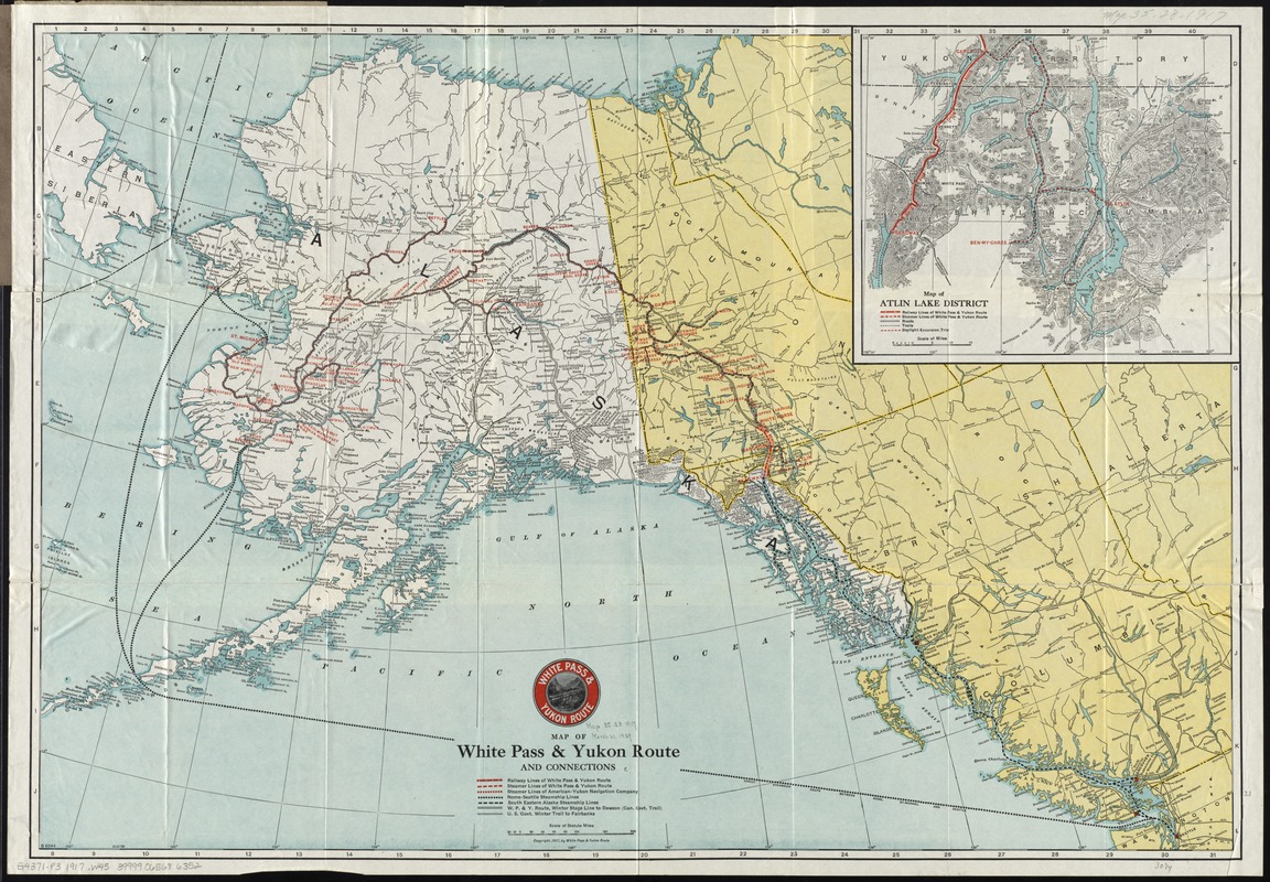
Map of White Pass & Yukon Route and connections
Item Information
- Title:
- Map of White Pass & Yukon Route and connections
- Title (alt.):
-
Map of Alaska, Atlin and the Yukon
- Creator:
- White Pass & Yukon Route (Firm)
- Date:
-
[ca. 1917]
- Format:
-
Maps/Atlases
- Location:
-
Boston Public Library
Norman B. Leventhal Map Center - Collection (local):
-
Norman B. Leventhal Map Center Collection
- Subjects:
-
White Pass & Yukon Route (Firm)--Maps
Transportation--Alaska--Maps
Transportation--Yukon--Maps
Railroads--Alaska--Maps
Railroads--Yukon--Maps
Alaska--Maps
Yukon--Maps
Atlin (B.C.)--Maps
- Places:
-
Alaska
CanadaYukon Territory (territory)
CanadaProvince of British Columbia (province)Atlin
- Extent:
- 1 map : col. ; 52 x 76 cm. folded in cover 20 x 11 cm.
- Terms of Use:
-
No known copyright restrictions.
No known restrictions on use.
- Publisher:
-
[S.l.] :
White Pass & Yukon Route
- Scale:
-
Scale [ca. 1:4,500,000]
- Language:
-
English
- Notes:
-
Relief shown by spot heights.
Inset: Map of Atlin Lake District / Poole Bros. Relief shown by hachures and spot heights. Scale [ca. 1:650,000].
"B 6044."
- Identifier:
-
06_01_011549
- Call #:
-
G4371.P3 1917 .W45
- Barcode:
-
39999065686352


