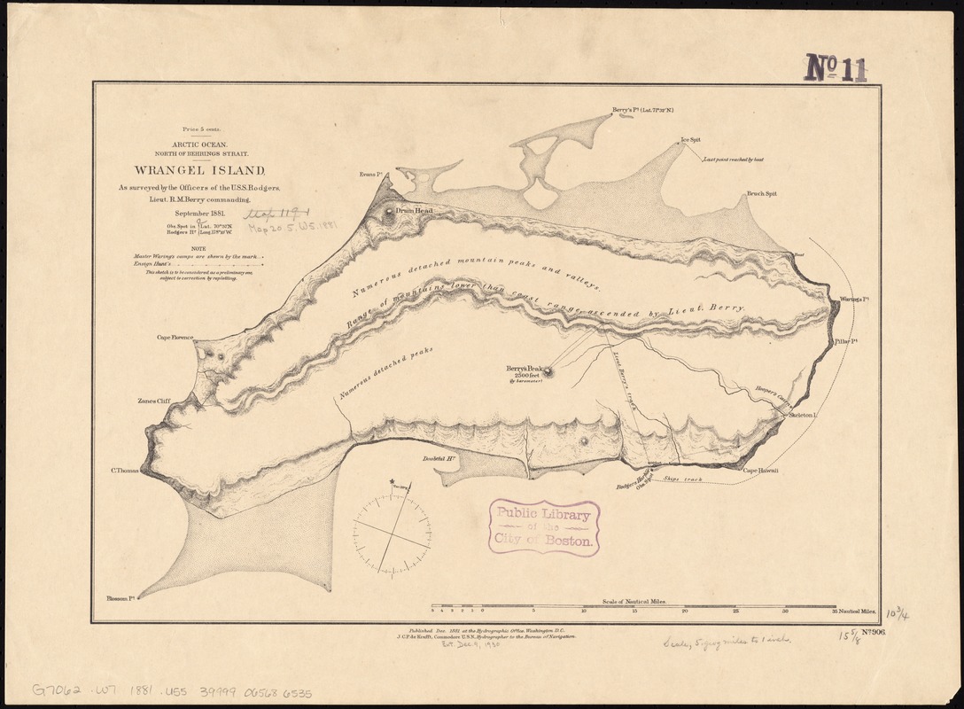
Arctic Ocean, north of Behrings Strait : Wrangel Island, as surveyed by the officers of the U.S.S. Rodgers, Lieut. R.M. Berry commanding
Item Information
- Title:
- Arctic Ocean, north of Behrings Strait : Wrangel Island, as surveyed by the officers of the U.S.S. Rodgers, Lieut. R.M. Berry commanding
- Title (alt.):
-
Wrangel Island
- Creator:
- United States. Hydrographic Office
- Date:
-
1881
- Format:
-
Maps/Atlases
- Location:
-
Boston Public Library
Norman B. Leventhal Map Center - Collection (local):
-
Norman B. Leventhal Map Center Collection
- Subjects:
-
Wrangel Island (Russia)--Maps
- Places:
-
RussiaWrangel Island (island)
- Extent:
- 1 map ; 28 x 40 cm.
- Terms of Use:
-
No known copyright restrictions.
No known restrictions on use.
- Publisher:
-
Washington, D.C :
Hydrographic Office
- Scale:
-
Scale [1:360,000]
- Language:
-
English
- Notes:
-
Relief shown by hachures and spot heights.
"This sketch is to be considered as a preliminary one, subject to correction by replotting."
- Identifier:
-
06_01_011543
- Call #:
-
G7062.W7 1881 .U55
- Barcode:
-
39999065686535


