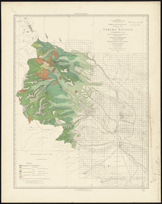
Forest map of the Yakima Region, Washington Ter. showing the predominant elements of the forest covering
Item Information
- Title:
- Forest map of the Yakima Region, Washington Ter. showing the predominant elements of the forest covering
- Folder title :
- Map bulletin no. 1 : Yakima Region, W.T
- Title (alt.) :
- Yakima region W.T
- Creator:
- Northern Transcontinental Survey. Forest Department
- Name on Item:
-
Northern Transcontinental Survey ; field notes by T.S. Brandegee ; compilation by A. Robeson ; A.D. Wilson, chief topographer ; R.U. Goode, topographer ; Frank Tweedy, ass't ; F.D. Owen, chief draughtsman.
- Date:
-
1883
- Format:
-
Maps/Atlases
- Location:
-
Boston Public Library
Norman B. Leventhal Map Center - Collection (local):
-
Norman B. Leventhal Map Center Collection
- Subjects:
-
Forests and forestry--Washington (State)--Yakima River Valley--Maps
Trees--Washington (State)--Yakima River Valley--Maps
Yakima River Valley (Wash.)--Maps
- Places:
-
Yakima (river)
- Extent:
- 1 map : color ; 52 x 40 cm.
- Terms of Use:
-
No known copyright restrictions.
No known restrictions on use.
- Publisher:
-
New York :
Julius Bien & Co.
- Edition:
- Prelim. photolithographed & colored ed. /
- Scale:
-
Scale [1:253,440]. 4 mi. to 1 in.
- Language:
-
English
- Notes:
-
Relief shown by contours and spot heights.
"Western sheet."--upper margin.
Series title on map: Forest bulletin, no. 1.
- Identifier:
-
06_01_011529
- Call #:
-
G4282.Y35K2 1883 .N67
- Barcode:
-
39999065686584


