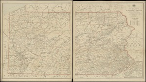
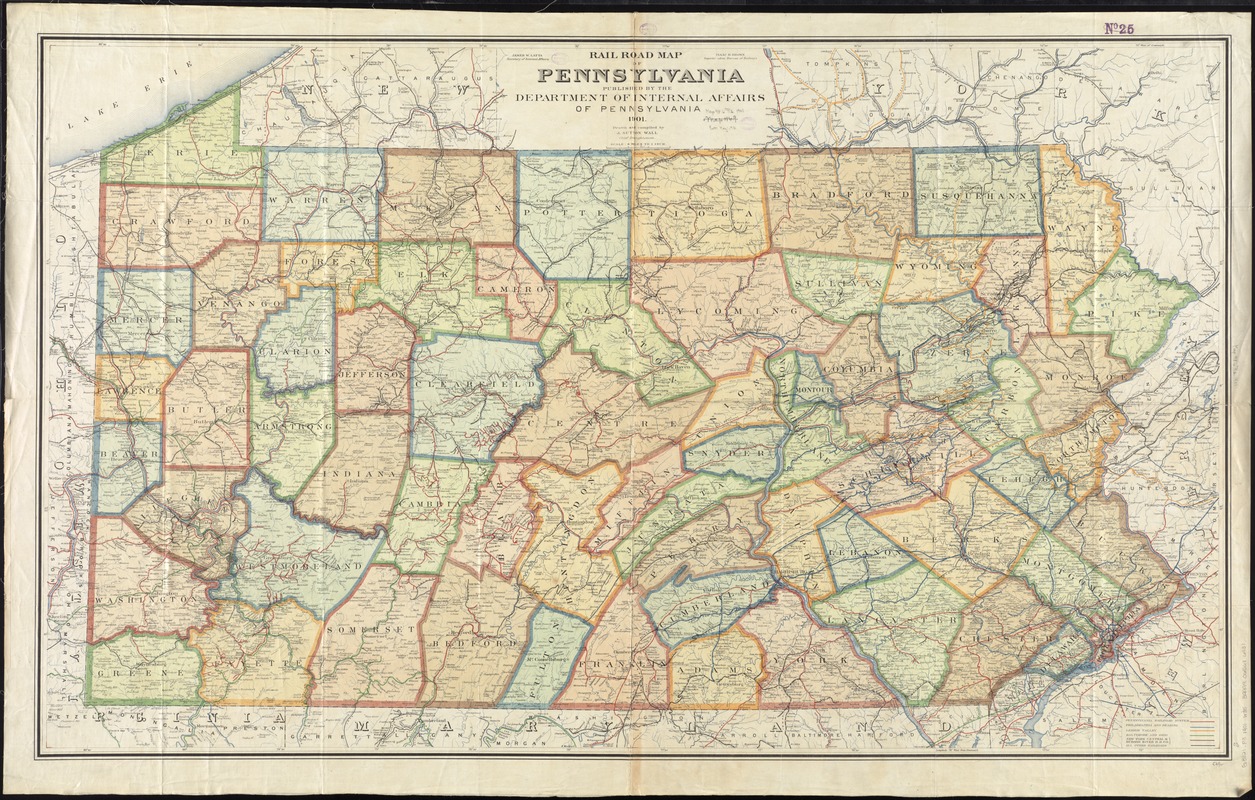
Rail road map of Pennsylvania
Item Information
- Title:
- Rail road map of Pennsylvania
- Title (alt.):
-
Railroad map of Pennsylvania
- Creator:
- Wall, J. Sutton.
- Name on Item:
-
drawn and compiled by J. Sutton Wall, chief draughtsman.
- Date:
-
1901
- Format:
-
Maps/Atlases
- Location:
-
Boston Public Library
Norman B. Leventhal Map Center - Collection (local):
-
Norman B. Leventhal Map Center Collection
- Subjects:
-
Counties--Pennsylvania--Maps
Railroads--Pennsylvania--Maps
Pennsylvania--Maps
- Places:
-
Pennsylvania
- Extent:
- 1 map : col. ; 84 x 140 cm.
- Terms of Use:
-
No known copyright restrictions.
No known restrictions on use.
- Publisher:
-
[Harrisburg, Pa.] :
Department of Internal Affairs of Pennsylvania
- Scale:
-
Scale [1:380,160]. 1 in. = 6 miles
- Language:
-
English
- Notes:
-
Shows counties, railroads, watershed, cities, towns, post offices, tunnels, and notable physical features.
- Identifier:
-
06_01_011509
- Call #:
-
G3821.P3 1901 .W35
- Barcode:
-
39999065686931