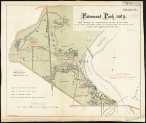
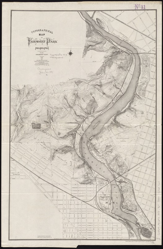
Topographical map of Fairmount Park, Philadelphia : excepting Wissahickon Valley
Item Information
- Title:
- Topographical map of Fairmount Park, Philadelphia : excepting Wissahickon Valley
- Name on Item:
-
engraved by Worley & Bracher.
- Date:
-
1870
- Format:
-
Maps/Atlases
- Location:
-
Boston Public Library
Norman B. Leventhal Map Center - Collection (local):
-
Norman B. Leventhal Map Center Collection
- Subjects:
-
Parks--Pennsylvania--Philadelphia--Maps
Fairmount Park (Philadelphia, Pa.)--Maps
- Places:
-
Philadelphia (county)Philadelphia
Fairmount Park
- Extent:
- 1 map ; 61 x 39 cm.
- Terms of Use:
-
No known copyright restrictions.
No known restrictions on use.
- Publisher:
-
[New York, N.Y.] :
Photo-Lith. by the N.Y. Lithg. Engrg. & Printg. Co.
- Scale:
-
Scale [1:9,600]. 800 ft. to 1 inch
- Language:
-
English
- Notes:
-
Relief shown by contours and spot heights.
Oriented with north towards the upper right.
- Identifier:
-
06_01_011488
- Call #:
-
G3824.P5:2F3 1870 .T67
- Barcode:
-
39999065685164