American Map and Reproducing Company's map of Portland and vicinity
Item Information
- Title:
- American Map and Reproducing Company's map of Portland and vicinity
- Title (alt.):
-
Map of Portland and vicinity
- Creator:
- American Map and Reproducing Company
- Date:
-
[ca. 1912]
- Format:
-
Maps/Atlases
- Location:
-
Boston Public Library
Norman B. Leventhal Map Center - Collection (local):
-
Norman B. Leventhal Map Center Collection
- Subjects:
-
Portland (Or.)--Maps
Vancouver (Wash.)--Maps
1912
- Places:
-
Multnomah (county)Portland
Clark (county)Vancouver
- Extent:
- 1 map : col. ; 98 x 66 cm.
- Terms of Use:
-
No known copyright restrictions.
No known restrictions on use.
- Publisher:
-
[S.l.] :
The Company
- Scale:
-
Scale [ca. 1:24,000]
- Language:
-
English
- Notes:
-
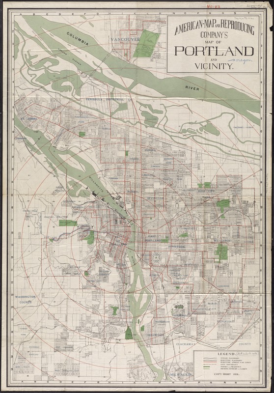
Map has public land (township, range, and section) grid.
Shows neighborhood/addition names, railroads and street railroads, parks, and city limits.
Shows radial distances from a point in downtown Portland.
Vancouver, Washington included.
- Identifier:
-
06_01_011483
- Call #:
-
G4294.P6 1912 .A54
- Barcode:
-
39999065685404


