Colton's map of the territory of Alaska : (Russian America) ceded by Russia to the United States
Item Information
- Title:
- Colton's map of the territory of Alaska : (Russian America) ceded by Russia to the United States
- Description:
-
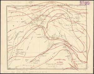
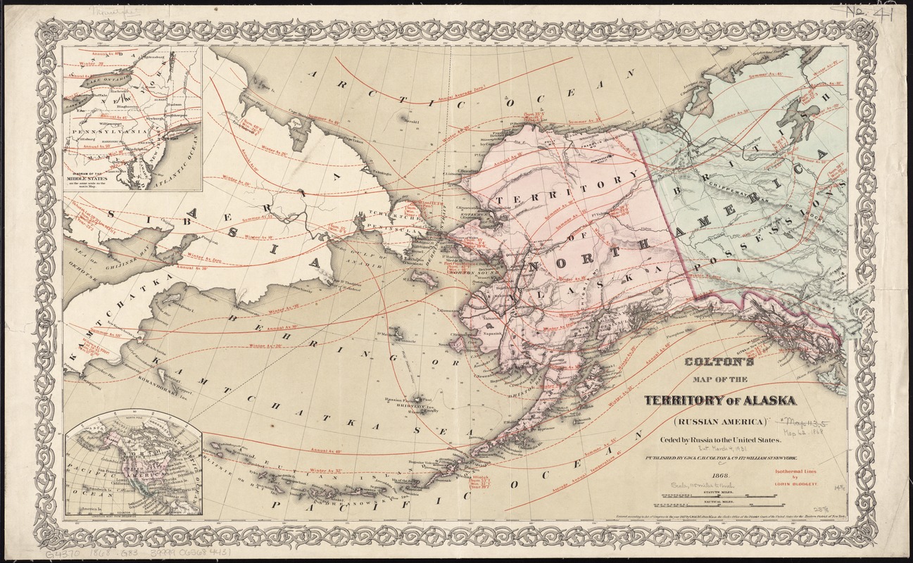
Regions and Seasons: Use of the curving isotherm allowed 19th-century mapmakers to break with the ancient and rigid concept of five climatic zones aligned with latitudes, while providing more accurate data and the ability to form relationships using this information. This 1868 map of Alaska features isotherms drawn by mapmaker Lorin Blodget, whose technique made vast amounts of environmental data easy to understand. Blodget's data was also used by government offices to examine the financial capacity of the Alaska territory, as the nation was rapidly expanding into the West. Red lines indicate temperatures and average readings throughout the territory.
- Creator:
- G.W. & C.B. Colton & Co
- Name on Item:
-
G.W. & C.B. Colton & Co. ; isothermal lines by Lorin Blodgett.
- Date:
-
1868
- Format:
-
Maps/Atlases
- Location:
-
Boston Public Library
Norman B. Leventhal Map Center - Collection (local):
-
Norman B. Leventhal Map Center Collection
- Subjects:
-
Atmospheric temperature--Alaska--Maps
Alaska--Maps
1868
- Places:
-
Alaska
- Extent:
- 1 map : col. ; 37 x 61 cm.
- Terms of Use:
-
No known copyright restrictions.
No known restrictions on use.
- Publisher:
-
New York :
G.W. & C.B. Colton Co.
- Scale:
-
Scale [ca. 1:7,500,000]
- Language:
-
English
- Notes:
-
Relief shown by hachures and spot heights. Depths shown by soundings.
Insets: [Location map] -- Diagram of the Middle States on the same scale as the main map.
Includes isothermal lines.
Decorative border.
"Entered according to Act of Congress in the year 1867 ..."
- Notes (exhibitions):
-
Exhibited: "Regions and Seasons: Mapping Climate through History" organized by the Norman B. Leventhal Map Center at the Boston Public Library, 2017.
- Identifier:
-
06_01_011367
- Call #:
-
G4370 1868 .G83
- Barcode:
-
39999065684431