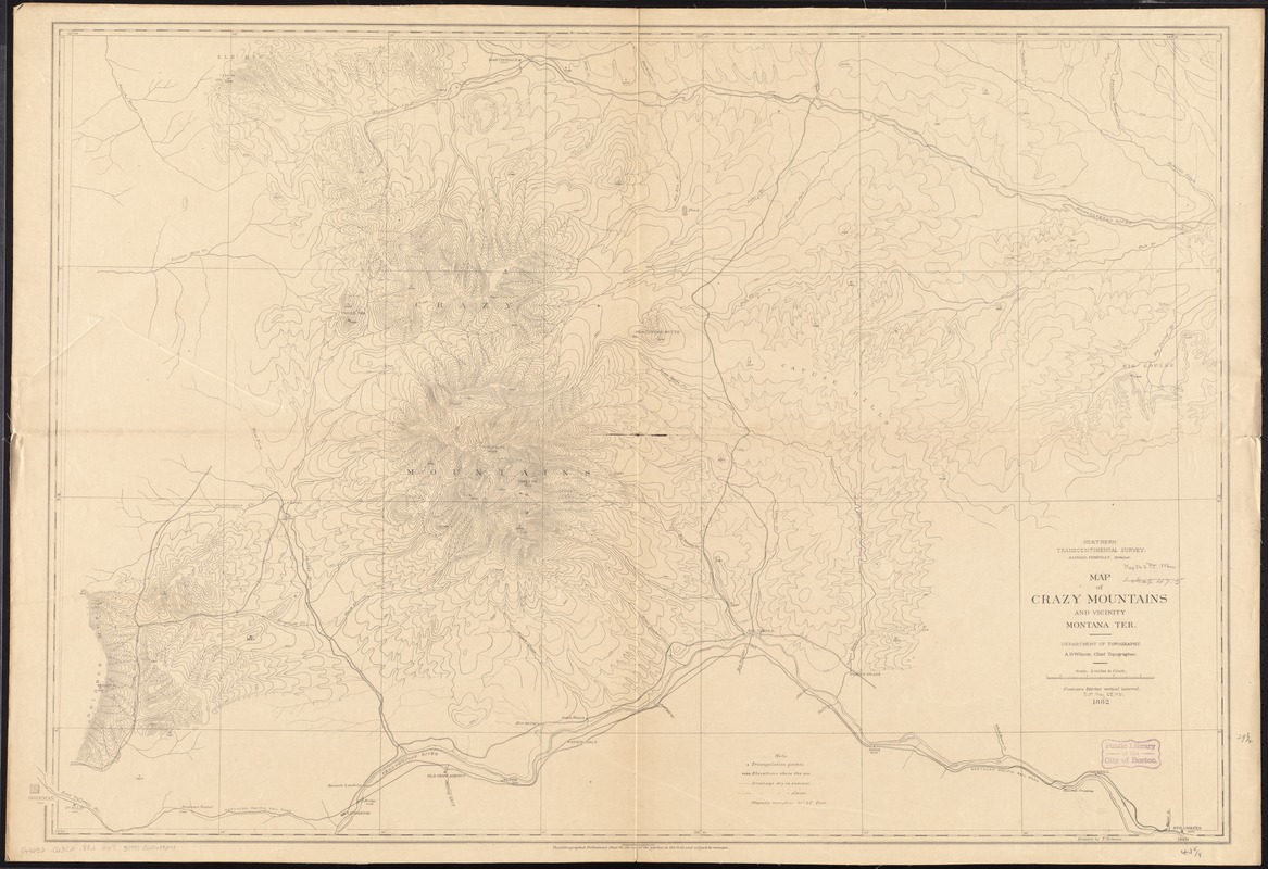
Map of Crazy Mountains and vicinity, Montana Ter
Item Information
- Title:
- Map of Crazy Mountains and vicinity, Montana Ter
- Creator:
- Northern Transcontinental Survey. Topographical Department
- Name on Item:
-
Northern Transcontinental Survey, Raphael Pumpelly, director ; Department of Topography, A.D. Wilson, chief topographer ; drawn by F.D. Owen.
- Date:
-
1882
- Format:
-
Maps/Atlases
- Location:
-
Boston Public Library
Norman B. Leventhal Map Center - Collection (local):
-
Norman B. Leventhal Map Center Collection
- Subjects:
-
Crazy Mountains (Mont.)--Maps
- Places:
-
Crazy Mountains
- Extent:
- 1 map ; 77 x 113 cm
- Terms of Use:
-
No known copyright restrictions.
No known restrictions on use.
- Publisher:
-
[Place of publication not identified?] :
[Northern Transcontinental Survey?]
- Scale:
-
Scale [1:126,720]. 1 in. = 2 miles
- Language:
-
English
- Notes:
-
Relief shown by contours and spot heights.
"Photolithographed preliminary sheet for the use of the parties in the field and subject to revision."
- Identifier:
-
06_01_011378
- Call #:
-
G4252.C63C2 1882 .N67
- Barcode:
-
39999065684241


