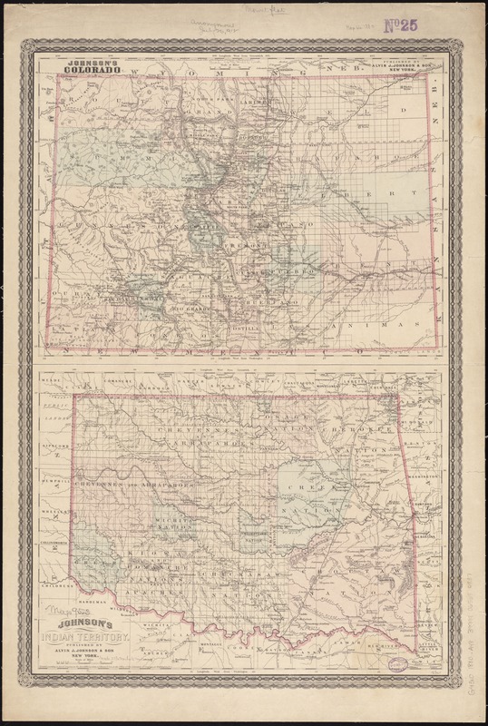
Johnson's Colorado ; Johnson's Indian Territory
Item Information
- Title:
- Johnson's Colorado ; Johnson's Indian Territory
- Title (alt.):
-
Johnson's Indian Territory
- Creator:
- Alvin J. Johnson & Son
- Name on Item:
-
Alvin J. Johnson & Son.
- Date:
-
[ca. 1880]
- Format:
-
Maps/Atlases
- Location:
-
Boston Public Library
Norman B. Leventhal Map Center - Collection (local):
-
Norman B. Leventhal Map Center Collection
- Subjects:
-
Colorado--Maps
Oklahoma--Maps
Indian Territory--Maps
- Places:
-
Colorado
Oklahoma
- Extent:
- 2 maps on 1 sheet : col. ; 29 x 40 cm. ea on sheet 67 x 46 cm.
- Terms of Use:
-
No known copyright restrictions.
No known restrictions on use.
- Publisher:
-
New York :
Alvin J. Johnson & Son
- Scale:
-
Scale [ca. 1:1,475,000]
Scale [ca. 1:1,640,000]
- Language:
-
English
- Notes:
-
Relief shown by hachures.
Prime meridians: Washington and Greenwich.
Shows counties, towns, railroads, natural features, township and range.
Decorative border.
"Entered according to Act of Congress, in the year 1878, by Alvin J. Johnson & Son ..."
"Entered according to Act of Congress, in the year 1880, by Alvin J. Johnson & Son ..."
- Identifier:
-
06_01_011336
- Call #:
-
G4310 1880 .A48
- Barcode:
-
39999065684837


